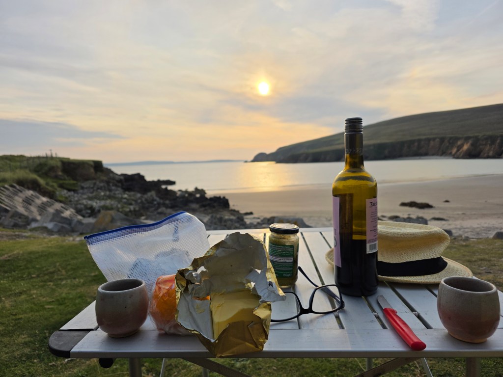
It was a week to remember, a week in late August, spent campervanning around Mayo, a week of spectacular walking on stunning coastal paths, pristine white-sand beaches, lonely bogs and remote mountains and even a pilgrimage route, Tóchar Phádraig, an ancient druidic path to reach Croagh Patrick.
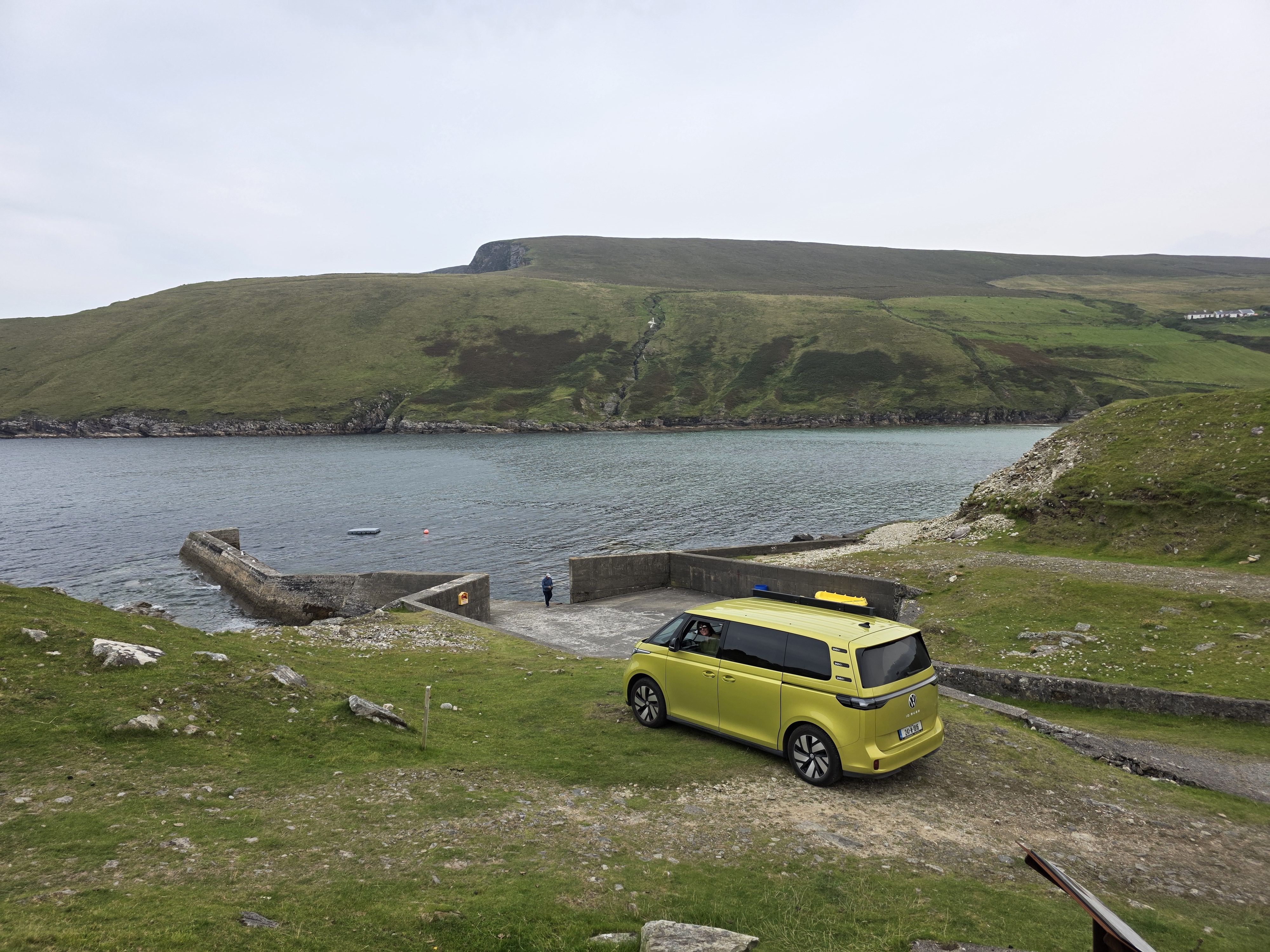
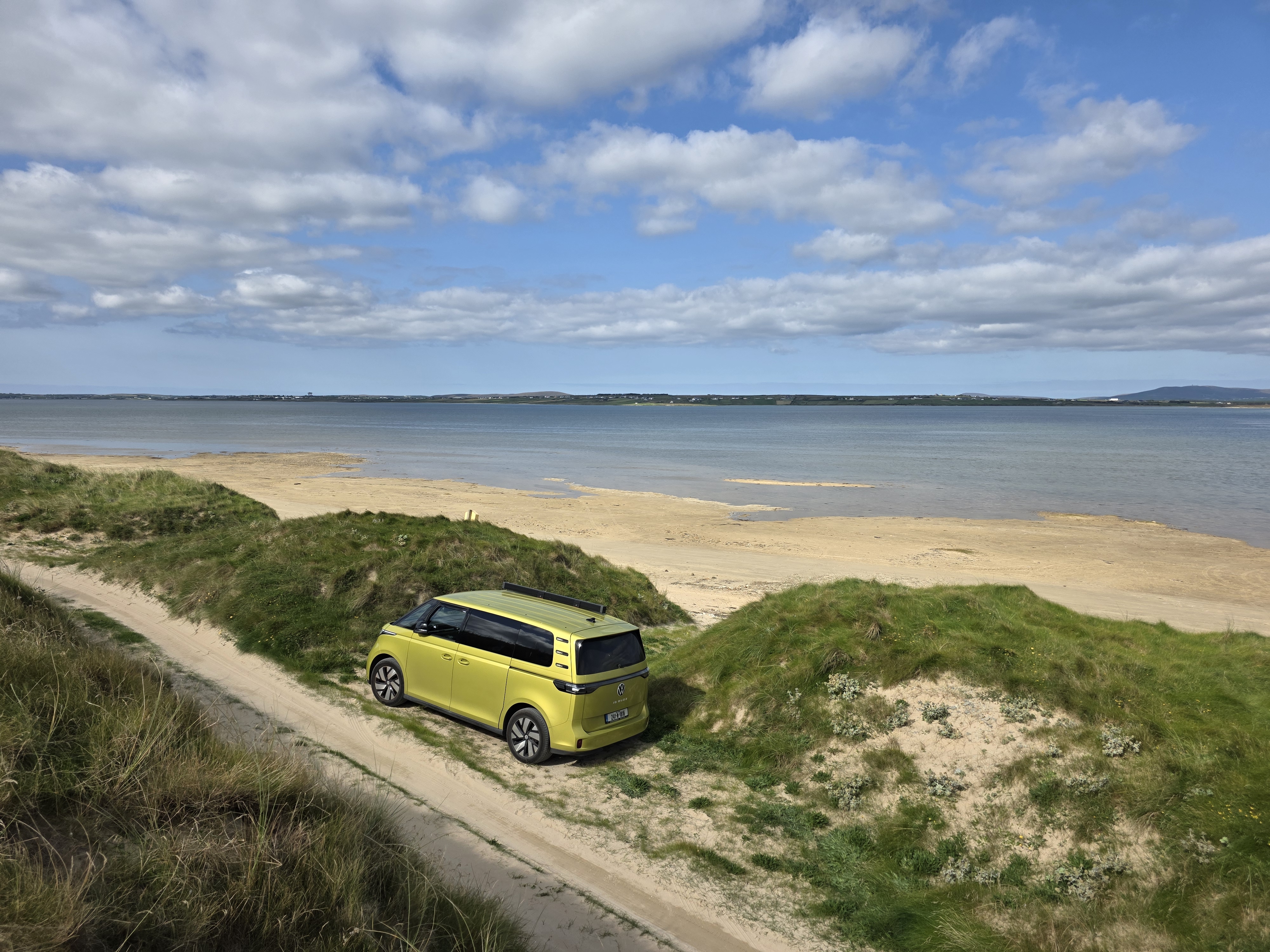
We started at Portocloy Beach on the far North-West Mayo Coast in a Gaeltacht area. If ever the phrase ‘off the beaten track’ was appropriate, it was here. We watched a lone gull, the only sign of life, gliding and swooping over the calm harbour waters. There were no crowds, cafes, shops or bars, just a picture-perfect beach, isolated by miles of blanket bog and nestled deep into a natural harbour, Carrowteige Cove, a safe haven for swimming or snorkelling and a little pier for fishing boats. There were temporary toilets in place for the summer months which was good news for us as we were sleeping in the van (the ID Buzz).
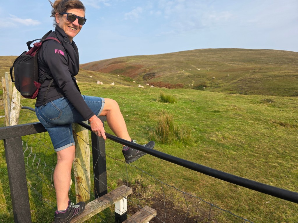
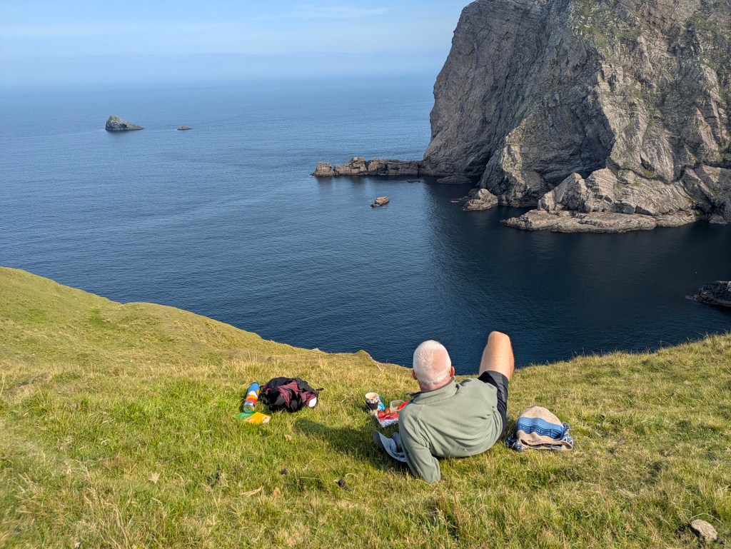
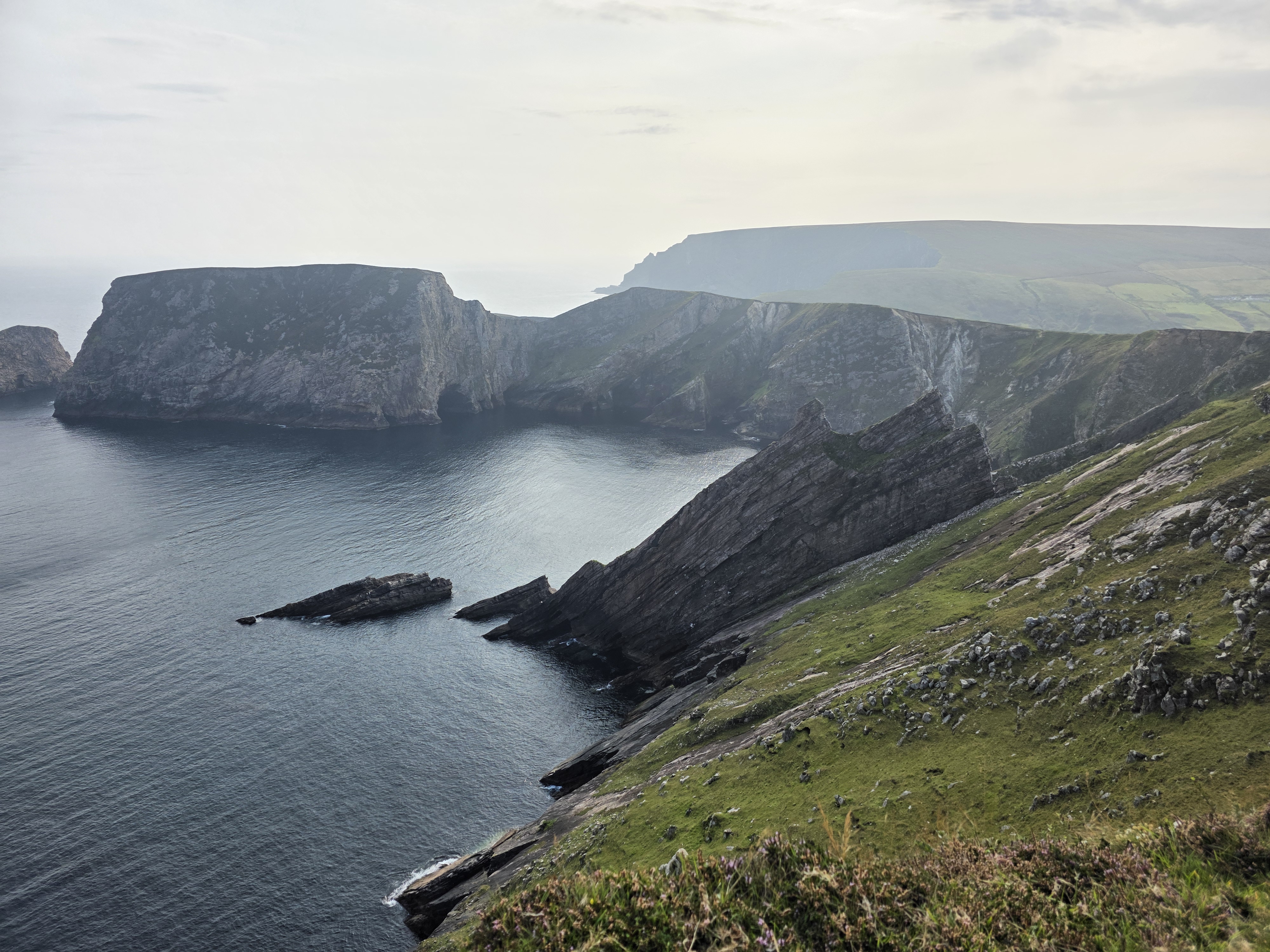
Portocloy Beach is also the start point for a truly spectacular cliff walk along the sea edge all the way to the extraordinary cliff views of Benwee Head (Binn Bhuí). This walk has a combination of rolling hills, expansive bog views, dramatic cliffs, jaw-dropping ocean and sea stack views, and more sheep than we could count. It is a well-marked trail with black poles and purple arrows, clearly visible on a beautiful cloudless day. The weather was perfect for us, blue skies with a light breeze, perfumed from the heathers, but on gusty days, care would be required because of the trail’s proximity to steep cliffs. We hiked an out and back route (about 13kms) but it is also possible to do the Carrowteige Loop Walk, which covers much of the same trail but is looped.
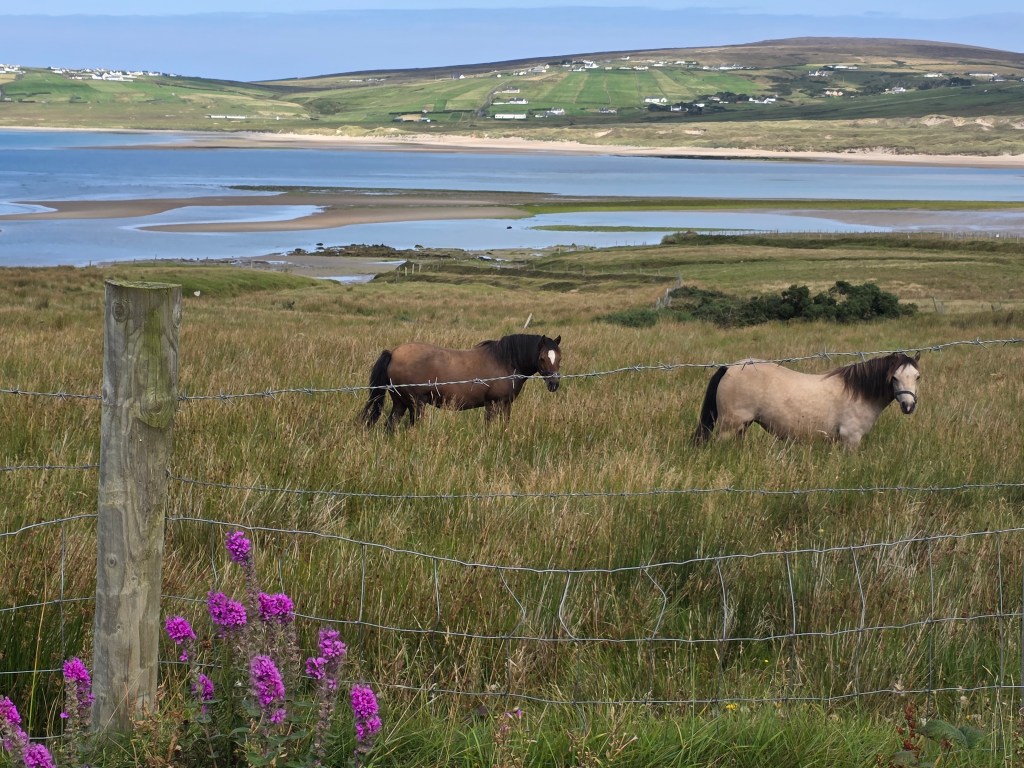
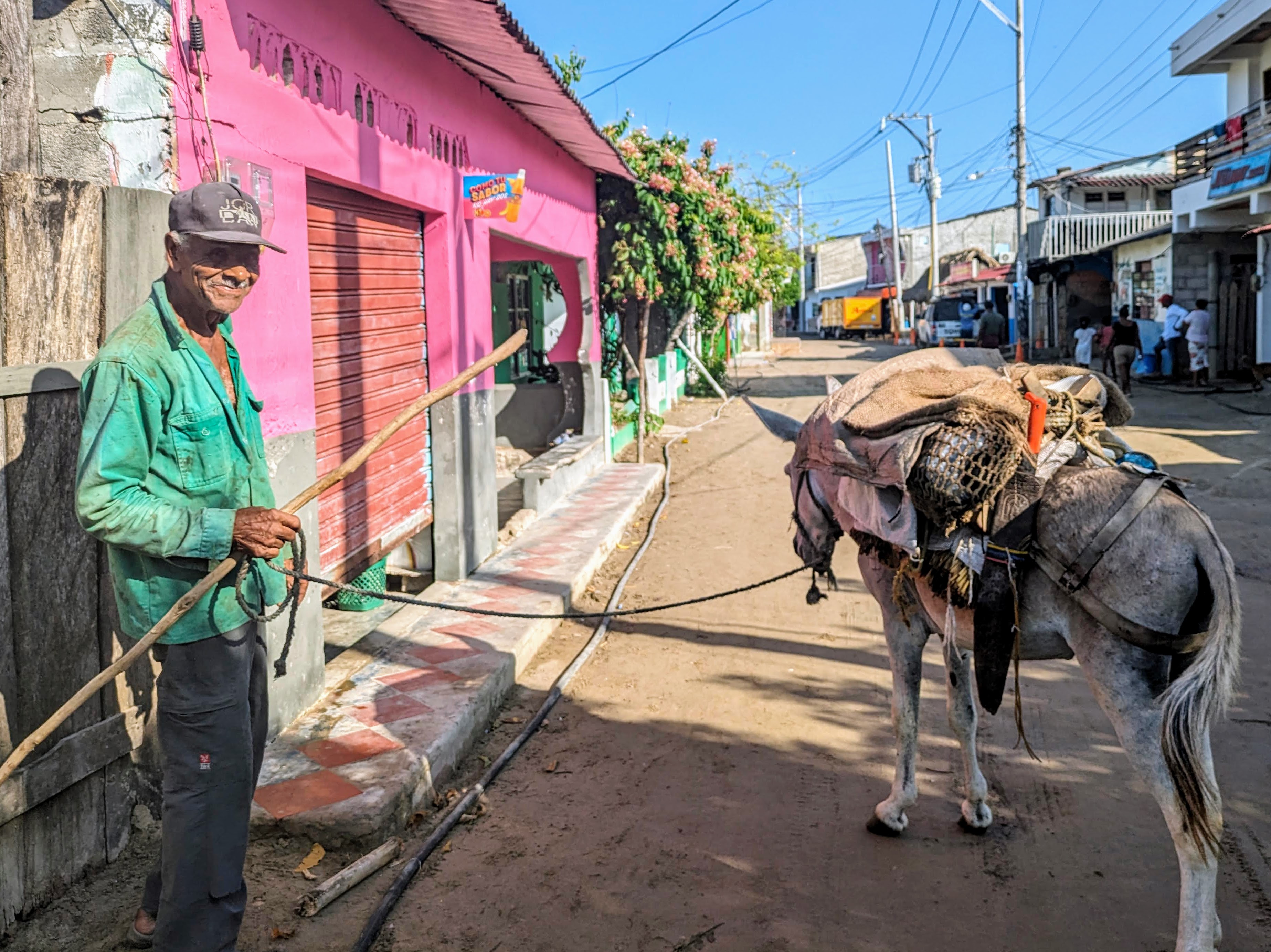
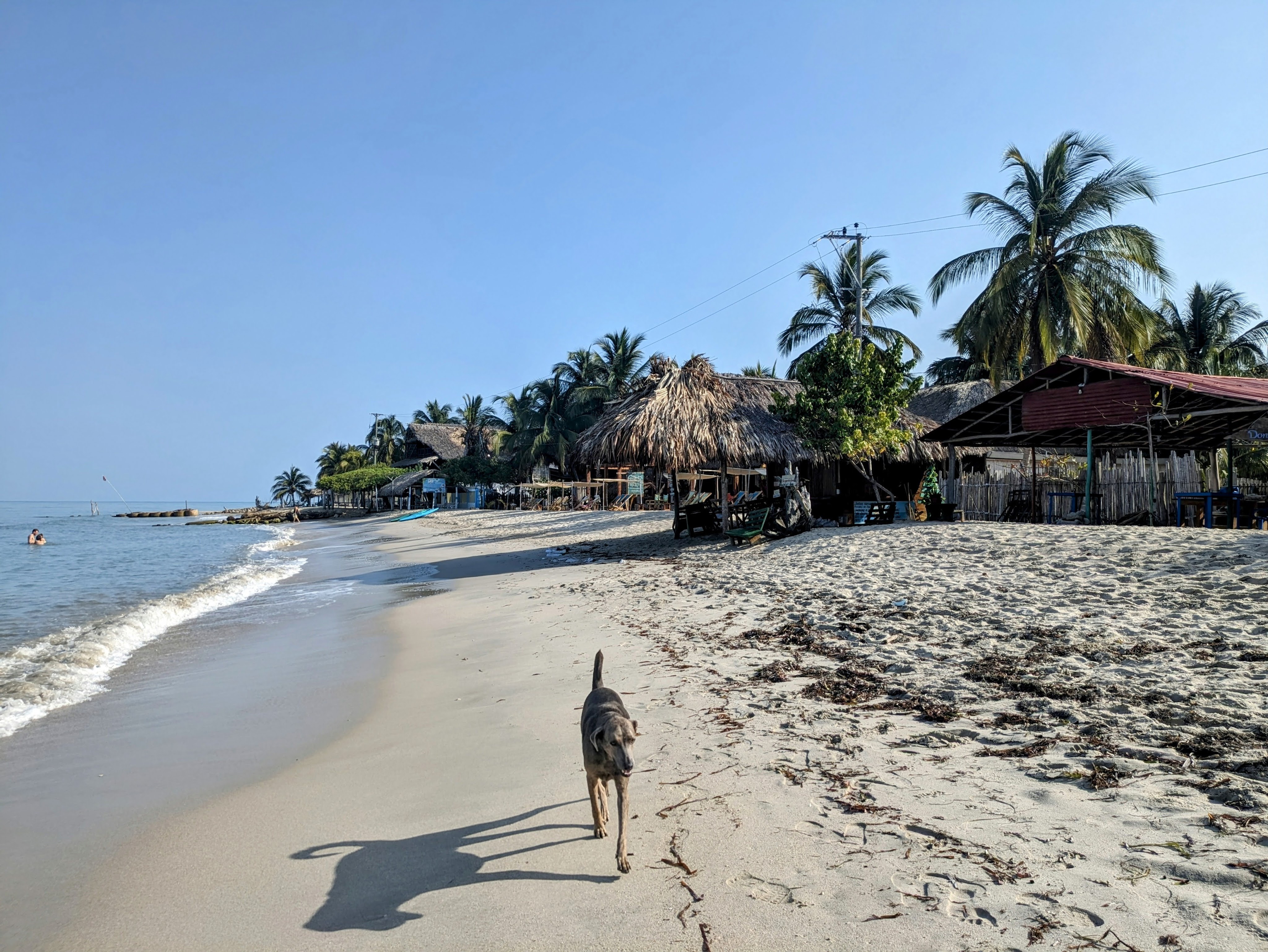
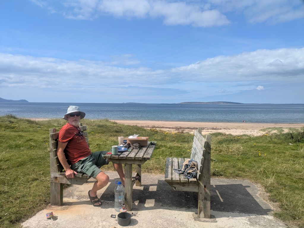
Rincoe Strand was only a ten-minute drive from Portocloy. It looks out across Broadhaven Bay towards the Mullet peninsula with a sandy beach on either side of a small peninsula. There were far more sheep than humans with the sound of bleating mingling with the lapping waves……until two busloads of Irish language students arrived for a swim in the crystal- clear waters… but peace came ebbing back when they scrambled onto their buses after about an hour, leaving a few campervans and the sheep. We walked uphill past the walled graveyard to Connolly’s Pub (Teach Conghóile), a cosy place with spectacular sea views where a couple of locals were sipping pints. The whole area had a desolate beauty with hardly a tree or bush…it almost felt like we were on an island with the sea and water in every direction. A local man, who now lives in Wexford, told us with nostalgia of the ‘good times’ growing up here, when children ran wild and free, and fishermen travelled to England to find work during the winter months and boys, as young as thirteen, went to Scotland to pick potatoes, known as the tattie hokers.

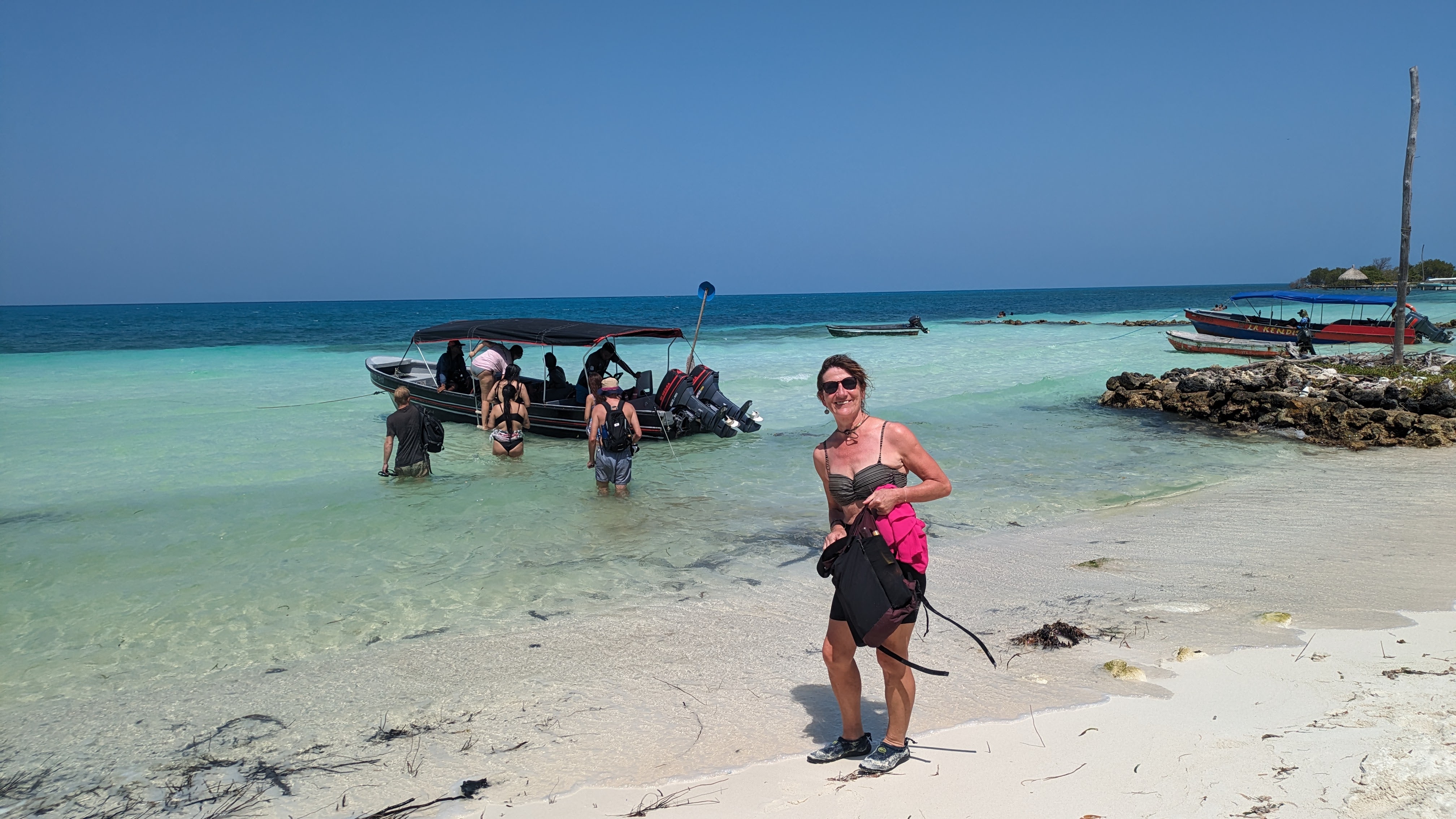
After Rincoe, we headed south along the coast, stopping for lunch in Belmullet before continuing to Claggan Island, Mayo’s newest island, having only being officially declared an island in 1991. The tiny island is situated on the northeastern corner of Blacksod Bay, about 12km from Belmullet. It is linked to the mainland by a narrow, sandy causeway that divides Tramore Bay from Blacksod Bay and it is circled by beautiful sandy beaches in every direction you look with some amazing views of Achill and the Mullet Peninsula. It was easy to spot the first-time visitors…they were the ones driving on the rough sandy road while the locals used the beach.
Driving around the roads of North Mayo, we kept seeing signs for Tír Sáile without knowing what it was. By the time it registered that this was a Sculpture Trail, we had passed most of them. Tír Sáile originated in 1993 when fourteen site-specific sculptures were installed in spectacular locations around the coast (sáile is seawater). One of the sculpture was on Claggan island, titled ‘Acknowledgment’, a 50m long sculpture of stone and earth, a tribute to the anonymous dead, whose memories have been lost in time.
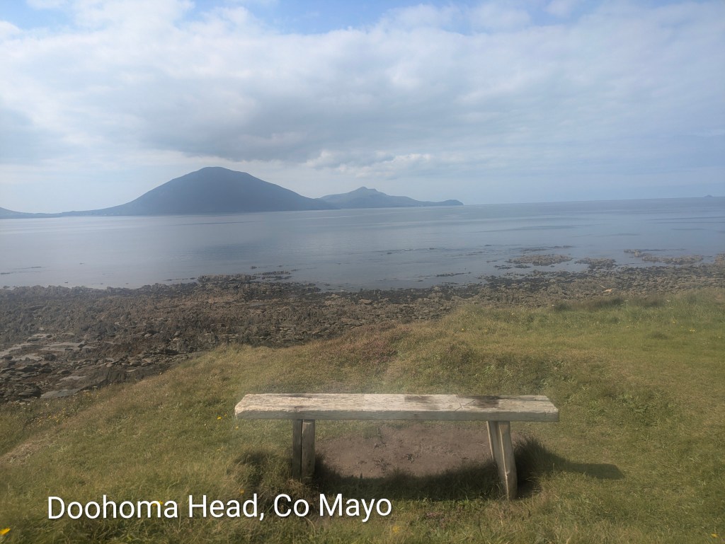
South of Claggan Island, there seemed to be an unending supply of more white-sand beaches with the distinctive silhouette of Achill Island on the horizon in the distance. Doolough Beach was empty apart from a man walking five dogs who told us that whales were spotted in the area the day before. Doohoma Head had a wooden seat with a dreamy Achill view but it was time for us to turn inland towards the mountains.

We stopped at the Ballycroy Visitor Centre in Wild Nephin National Park, a modern building full of light and clean lines with knowledgeable, enthusiastic staff and a lovely café. Wild Nephin National Park is huge – a vast 15,000 hectares of uninhabited and unspoilt wilderness, dominated by the Nephin Beg mountain range and the Owenduff Bog, one of the last intact active blanket bog systems in Western Europe. Martin, who worked in the centre, explained the vision for the future with conservation plans for reforesting the park with native species and a focus on education.
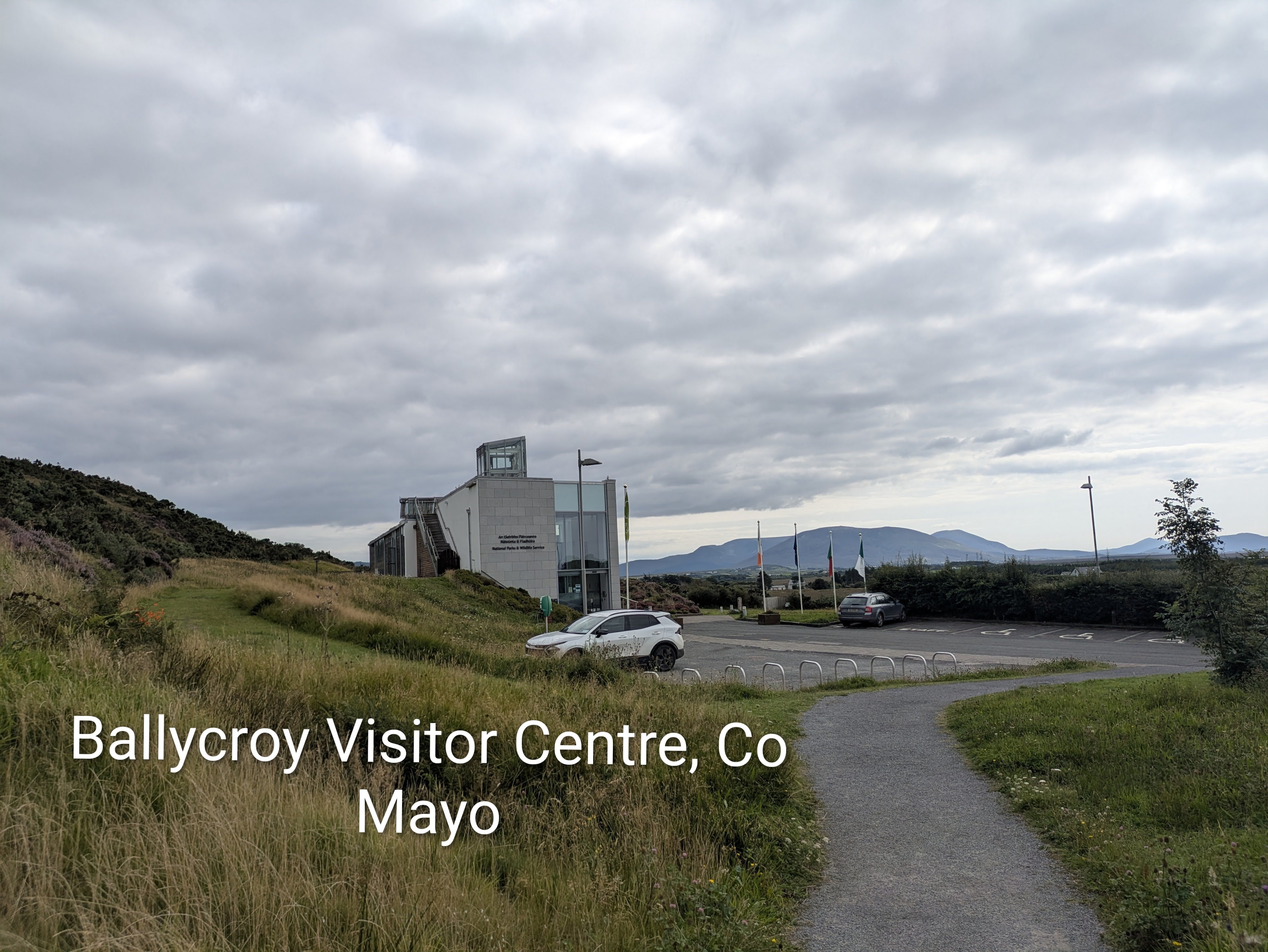
Just inside the visitor centre was a huge star-studded poster with the caption ‘The darkest skies reveal the brightest stars’ because Nephin has some of the darkest, most pristine night skies in the world and is officially certified as a Gold Tier standard International Dark Sky Park. The Mayo Dark Sky Park extends across the entire National Park….there was even a viewing platform on the grounds of the visitor centre. The best time for star-gazing is the clear crisp winter months but it is possible on any night for visitors to see with the naked eye thousands of twinkling stars, other planets in our solar system, the Milky Way and even meteor showers…if they are lucky.
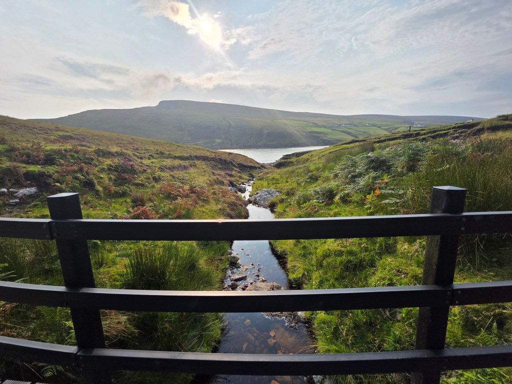
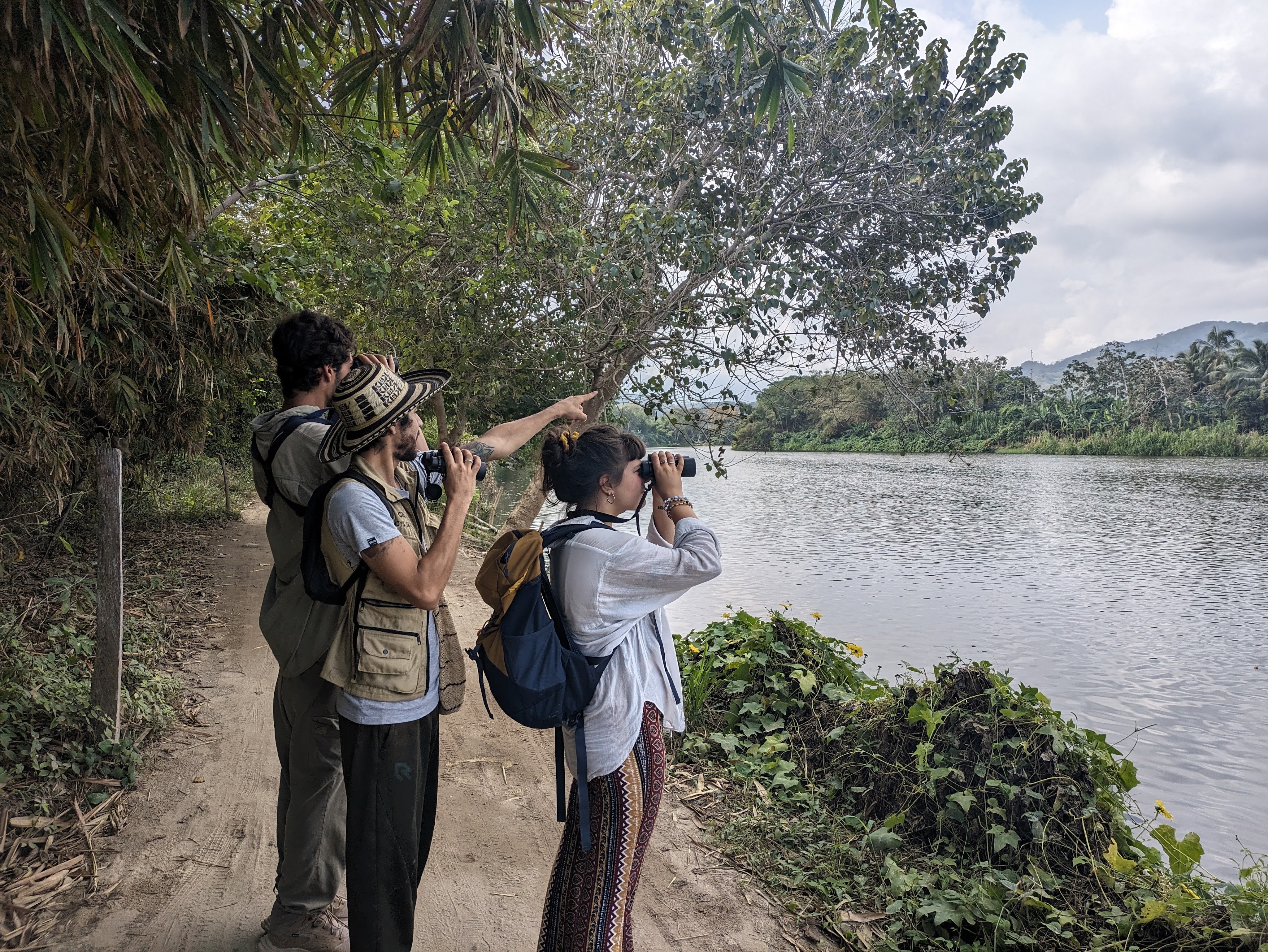
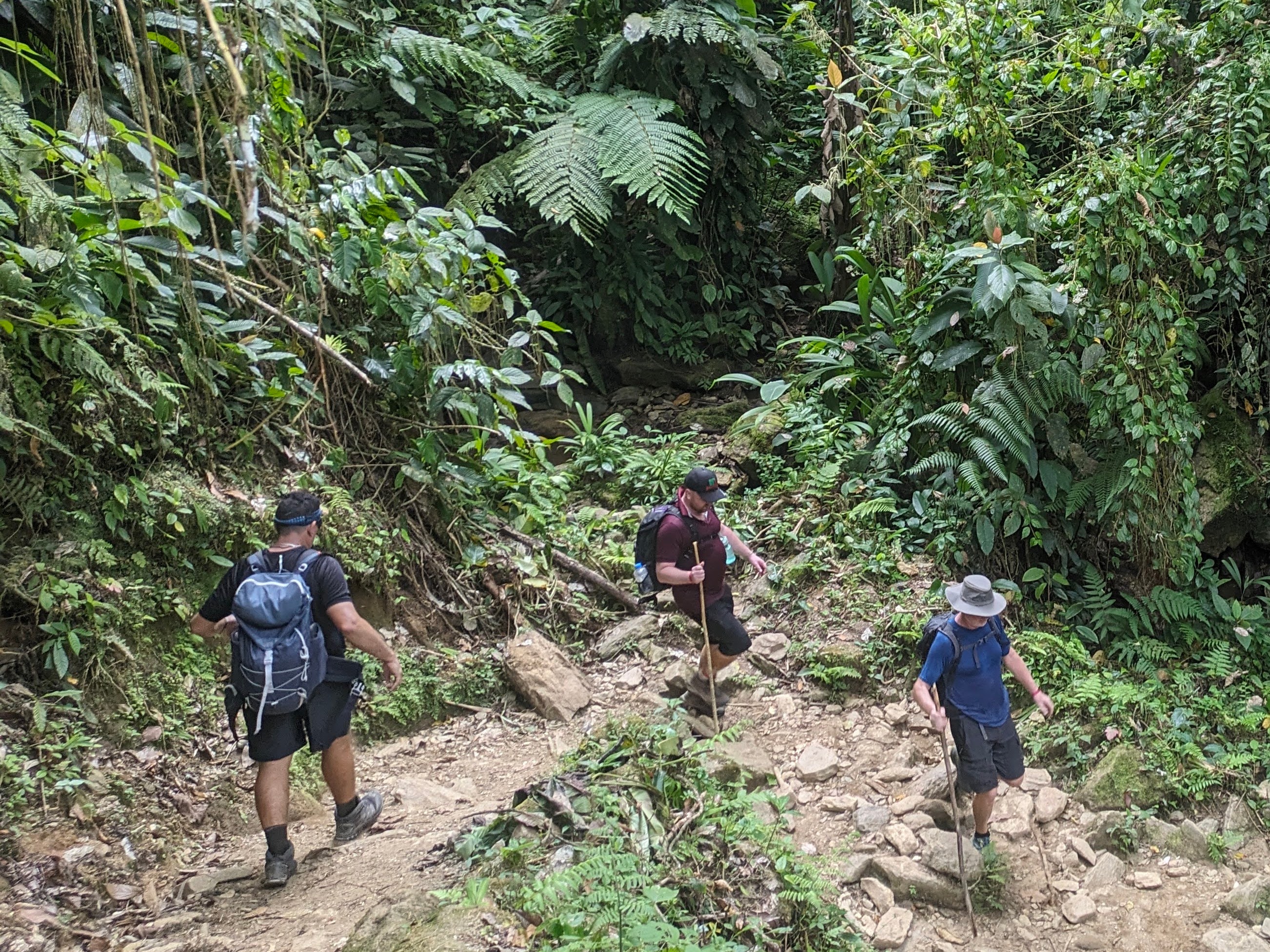
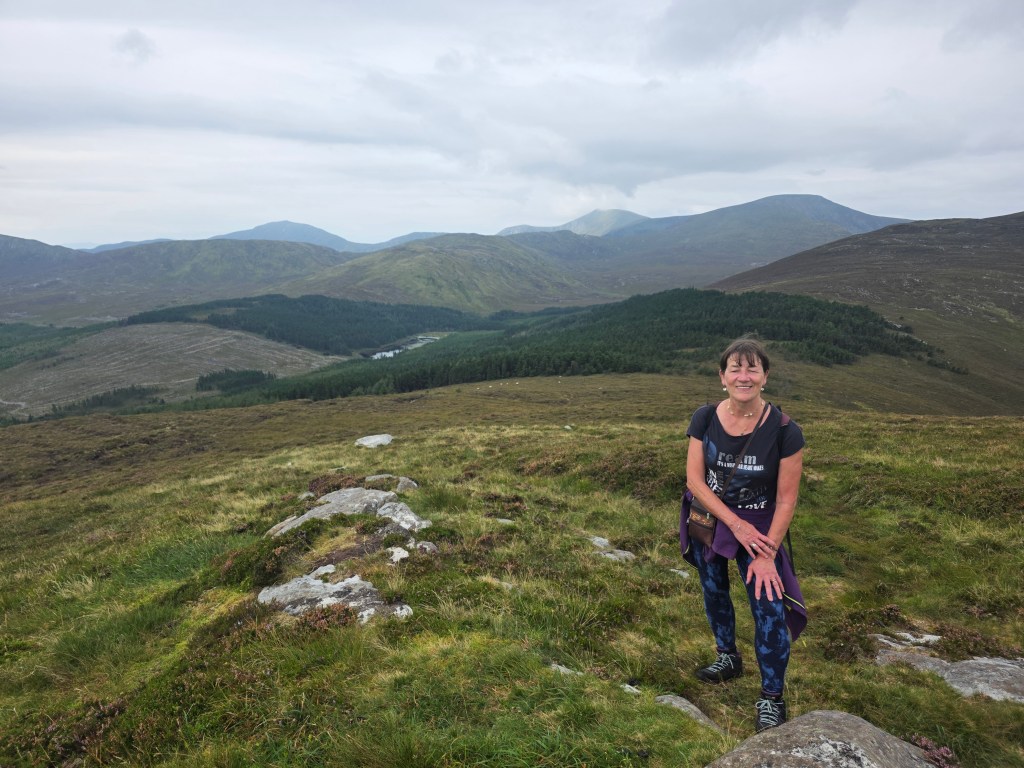
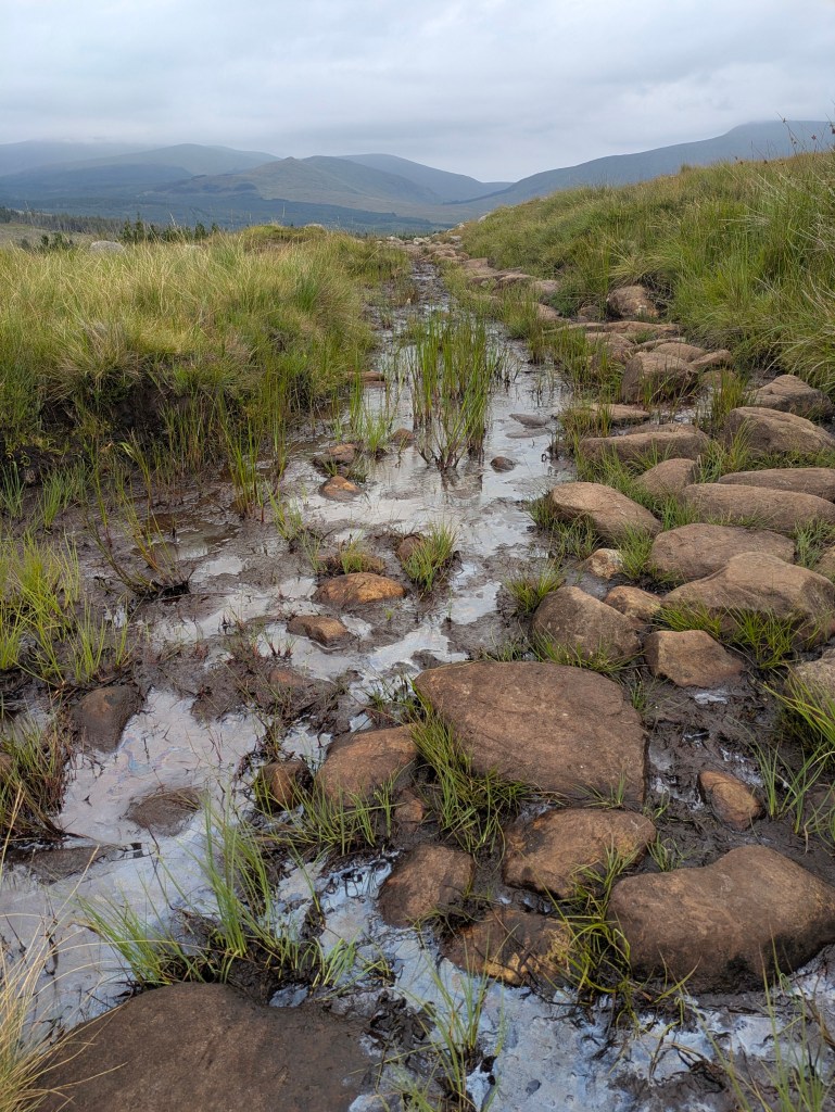
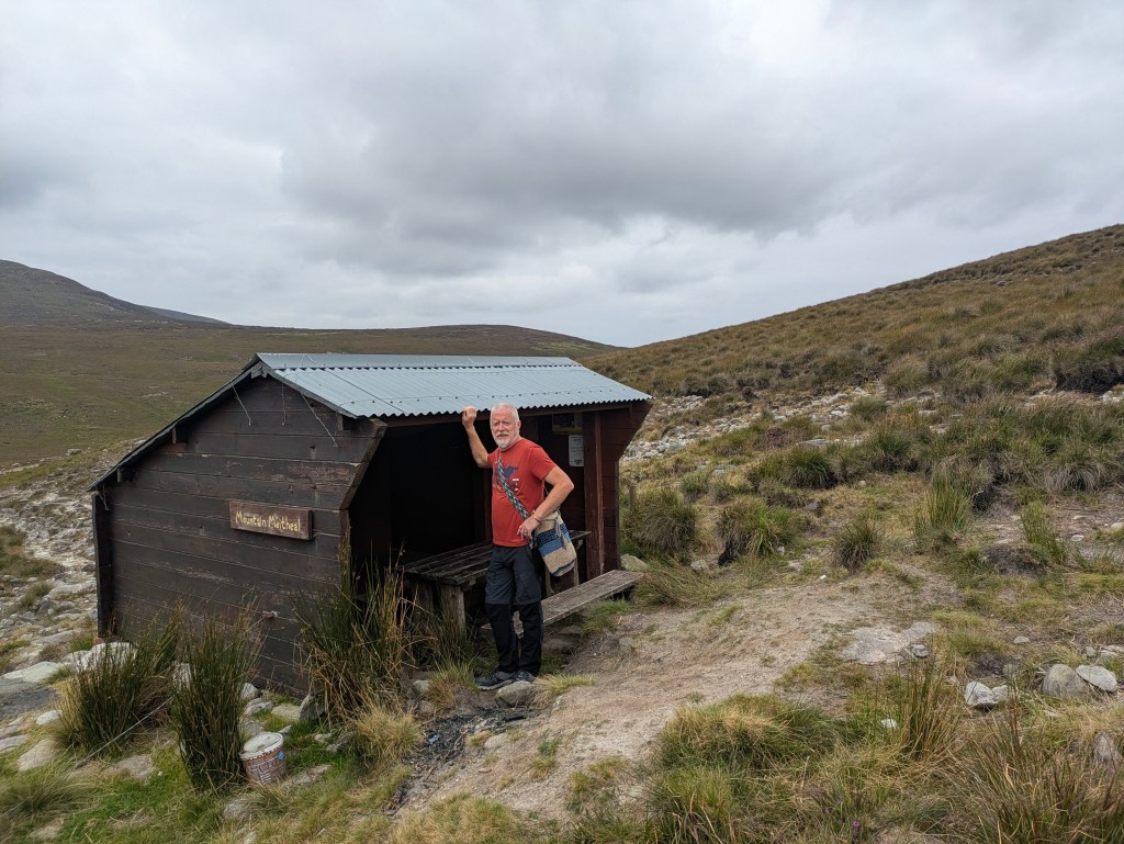
On Martin’s advice we headed to the Letterkeen Trailhead, about a forty minute drive, northeast from the centre, a trip into wilderness and blizzards of midges at dusk. Unfortunately the skies remained cloudy for us that night with only a smattering of stars but the Letterkeen Loop walk the following morning was gorgeous, with different terrain from stony sheep paths, forest trails to sucking boggy paths where we almost lost a boot. Although the air was thick with moisture, it didn’t actually rain. We enjoyed panoramic views of inky-black lakes, brown streams and a feeling of deep isolation and silence. Nephin has been called ‘the loneliest place in the whole country’ because of the absence of human habitation and mobile coverage is patchy. We didn’t meet a single person on the trail although there were a few cars parked at the trailhead, which also had spotless port-a-loos.
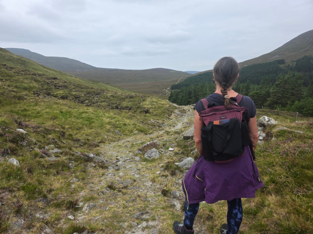
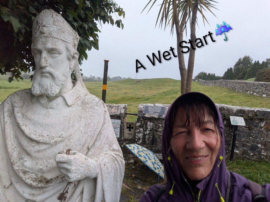
Our next stop was Ballintubber Abbey, founded in 1216 and one of Ireland’s oldest surviving abbeys and the hub of the ‘Irish Camino,’ and one of the five medieval pilgrim paths of Ireland. It is the starting point for Tóchar Phádraig, an ancient pilgrim path that stretches to Crough Patrick.
Tóchar Phádraig predates St. Patrick, originally built about 350AD as a chariot route from Rathcruachan, the seat of the kings and queens of Connacht, to Cruachan Aille, as Crough Patrick was called in Pre-Christian times, a mountain sacred to our pagan ancestors.

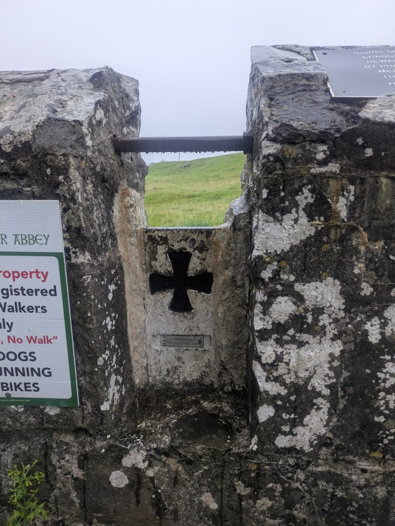
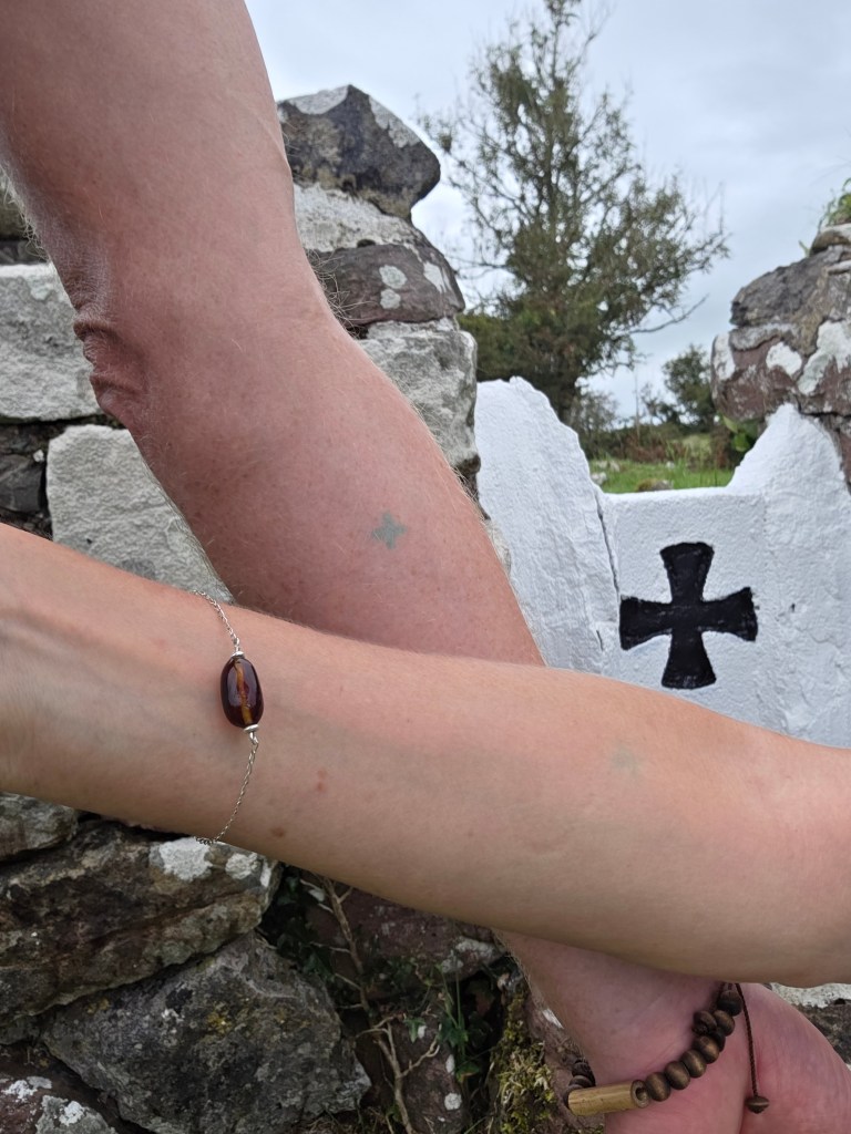
Pilgrims must register in the Abbey before setting out, where they will receive maps, advice and a booklet which gives some information on the many points of interest along the way. We registered on Friday afternoon so that we could get an early start on the 35kms route the following morning as the office opened at 9.30am. The walk can be broken into two parts, the first section to Aghagower with its round tower, and the second section to Crough Patrick but we hoped to complete it in one go. We were branded on the back of each forearm with a small green cross, evidence that we had registered and paid our dues should any farmer or landowner request proof.
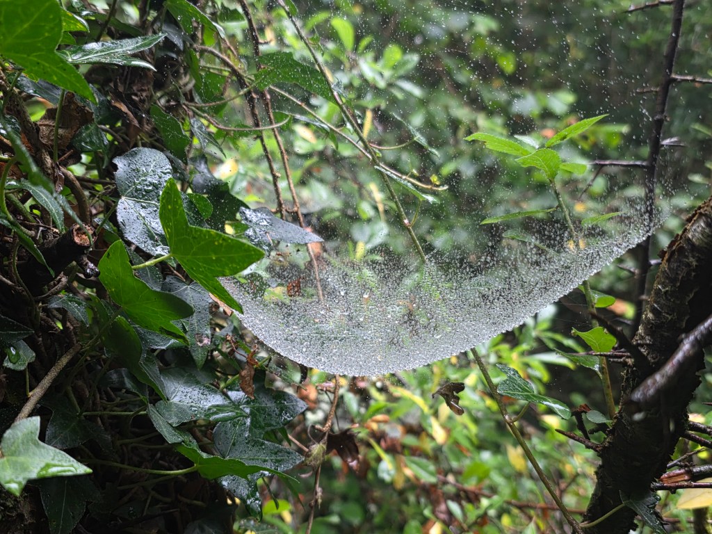
The morning started grey, in a light drizzle, the type of West of Ireland rain that was very wetting but the day cleared after an hour or two. The camino wound its way through open farmland, fields of grazing cattle, sheep and a few horses. We trekked through woodland and forests, stepped over countless stiles with the Tóchar cross sign etched into the stone and tramped along country lanes past hedgerows laden with abundant bounty – blackberries, sloes and haws and moisture drizzled cobwebs.
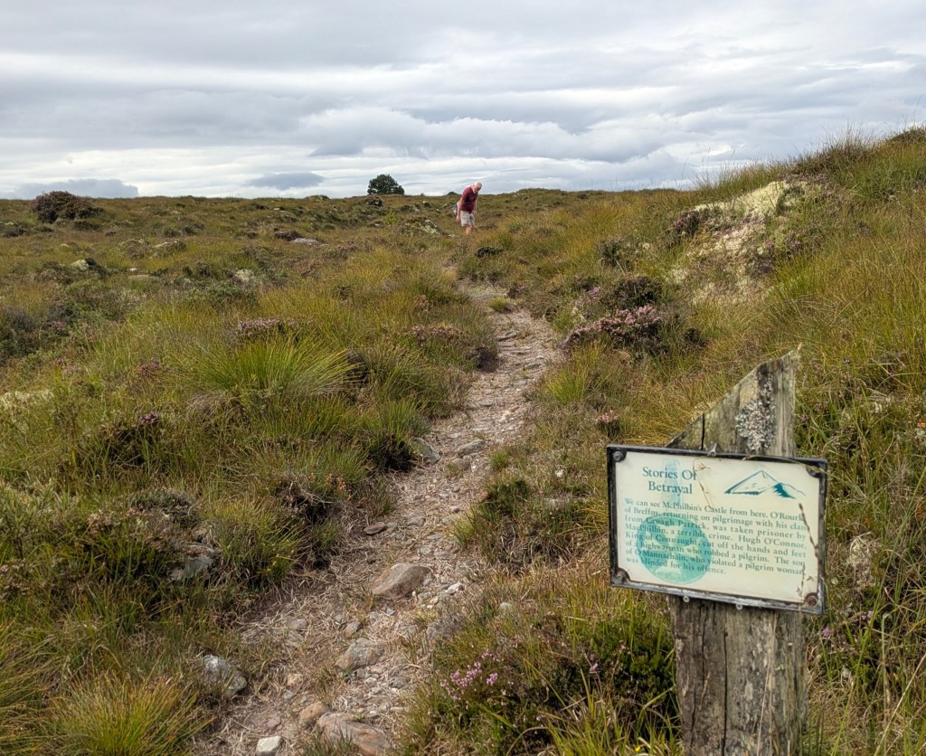
There were numerous storyboards, highlighting points of interest, a welcome opportunity to stop and read. This was not only a spiritual pilgrimage but also a cultural and historical journey through the ages, a fascinating blend of pagan and Christianity, a place of history and pre-history where every tree, stone and rock had a story to tell – mainly of famine, hardship and betrayal but also of healing and goodness. Sometimes in the silence, all I could hear was the beating of my heart and the sound of my boots on the earth. While the first section was predominantly off-road, the second section was mainly on paved country roads and laneways.
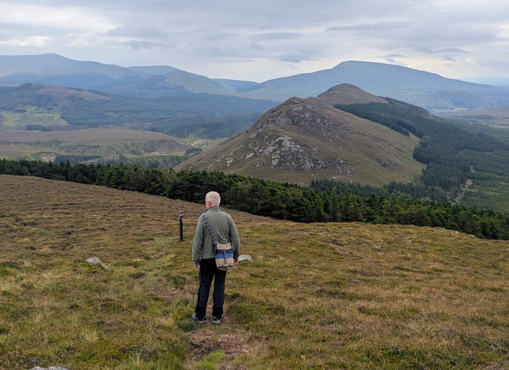
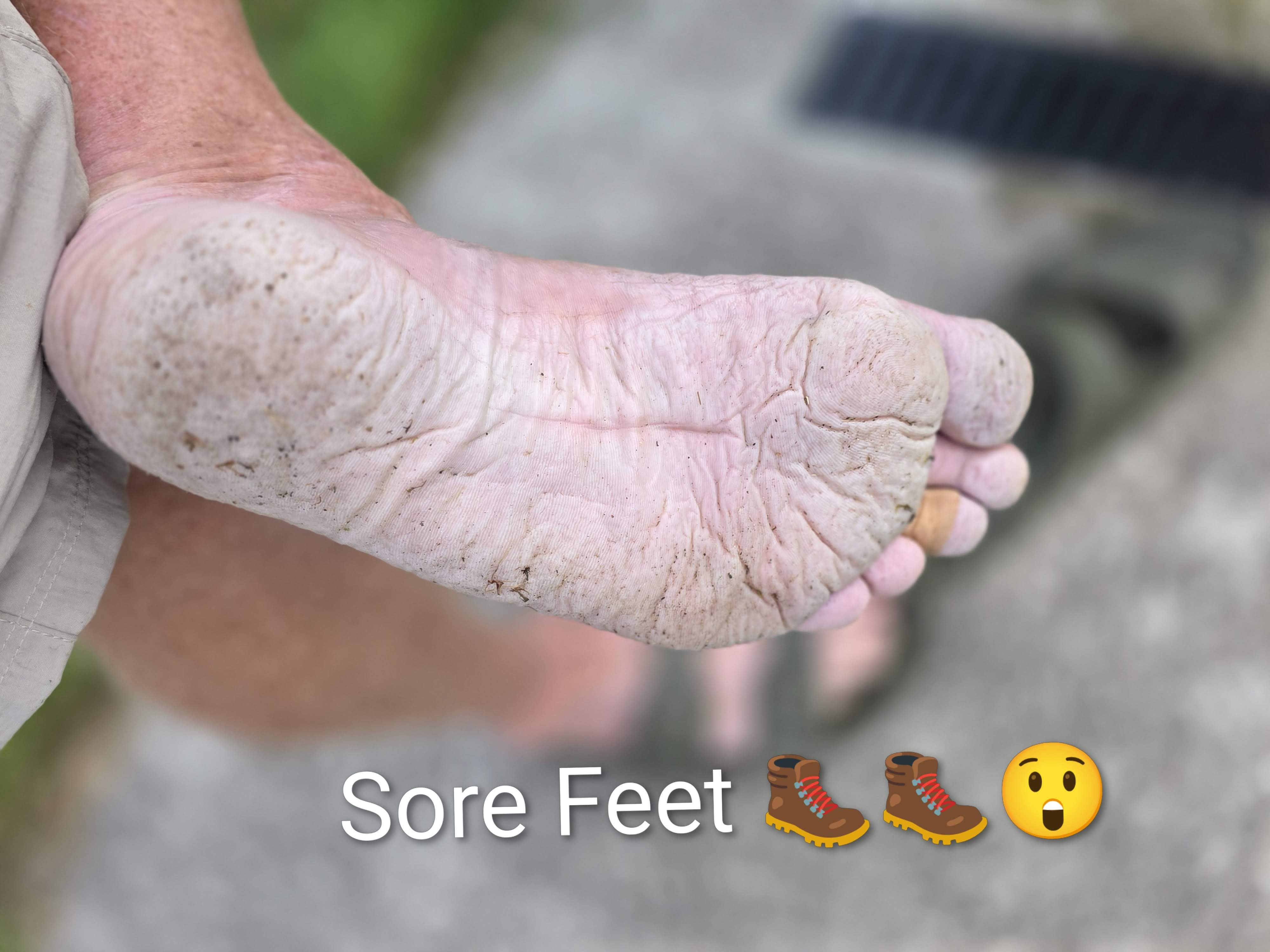
With our damp start and the high wet grass, our feet were wet from the very beginning and we contemplated giving up at the halfway point but we persevered. Crough Patrick loomed out of the landscape, a focal point since ancient times, and seemed to beckon us forward although for long sections, it didn’t seem like we were getting any closer as we plodded along. There were signs saying ‘No complaining’ in several places which we tried to obey.
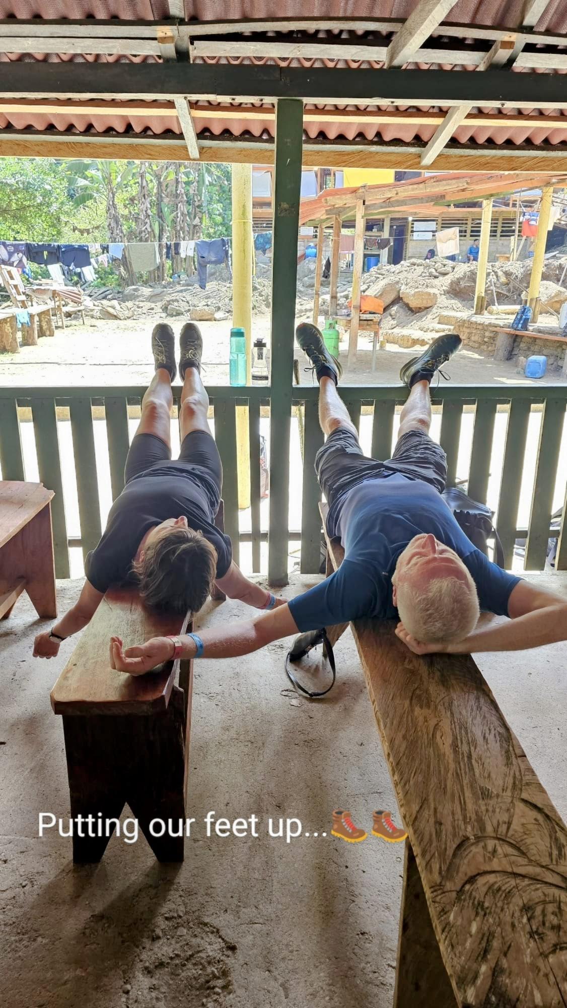
Although the trail was well-marked, we managed to lose it several times, back-tracking until we picked it up again. There are several guided walks each year, organised by the Abbey, which would be easier as we wouldn’t have to concentrate on finding the markers ourselves but we were a week too early for the August guided pilgramage. We finished with a sense of achievement…. and exhaustion with shrivelled feet… after a long day of blisters and contemplation.
We barely scratched the surface of what North Mayo has to offer but one thing is certain, we will certainly return if we can. If stunning scenery, amazing deserted beaches, superb hiking and starry skies are your thing, then Mayo is definitely the place to go. The locals are an added bonus, probably the friendliest people in the whole country and certainly the most talkative.
We had no problem with the electric van, charging it in Ballina and in Westport. This van trip was so successful that we are considering going further afield. Might it be possible to drive to Istanbul or Casablanca…..and back?
Thanks for reading