Electric Travels: Onwards to Morocco

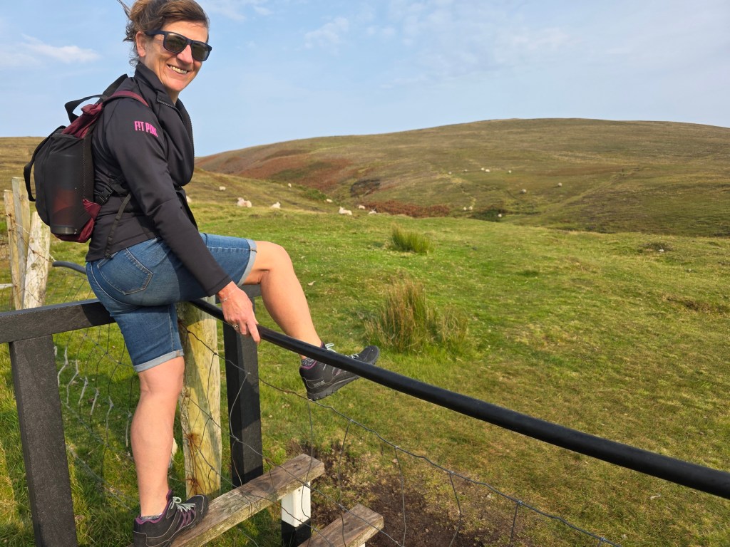
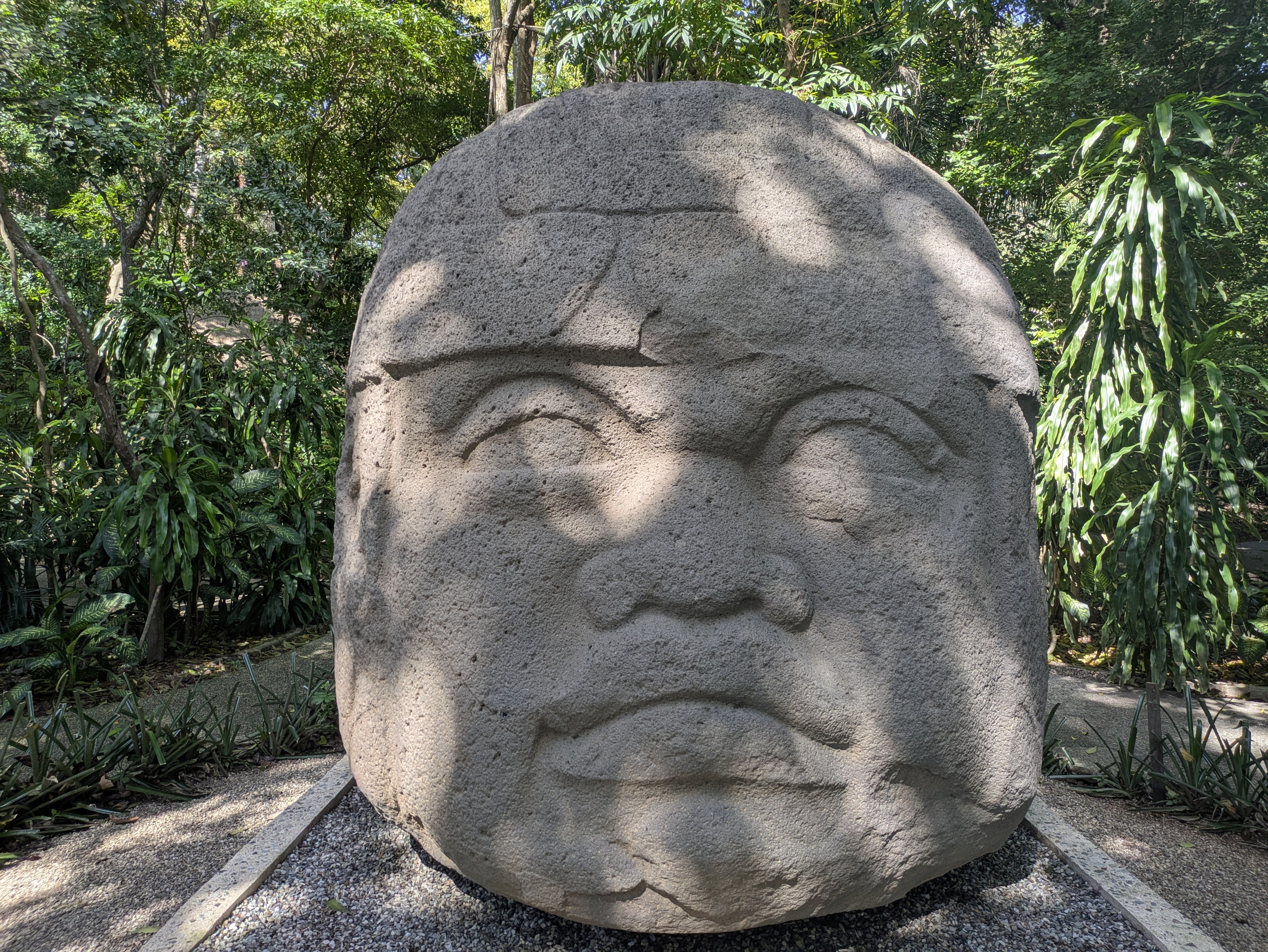
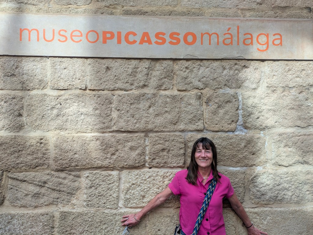
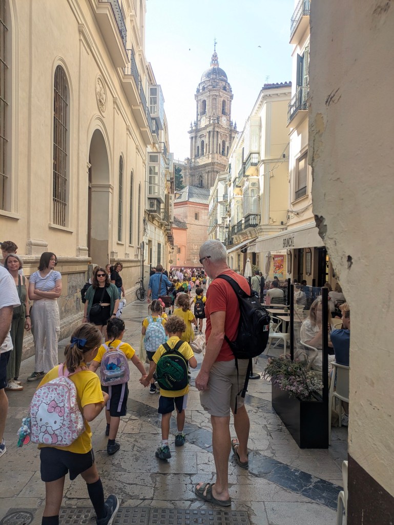
When I left you last, we were waiting to enter the Picasso Museum in Malaga. Picasso was truly a genius, could turn his hand at anything from pottery to sculpture to iron works and was constantly working. I love his quote ‘Everyone knows that art is not truth. Art is a lie that allows us to realize the truth. Definitely worth a visit.

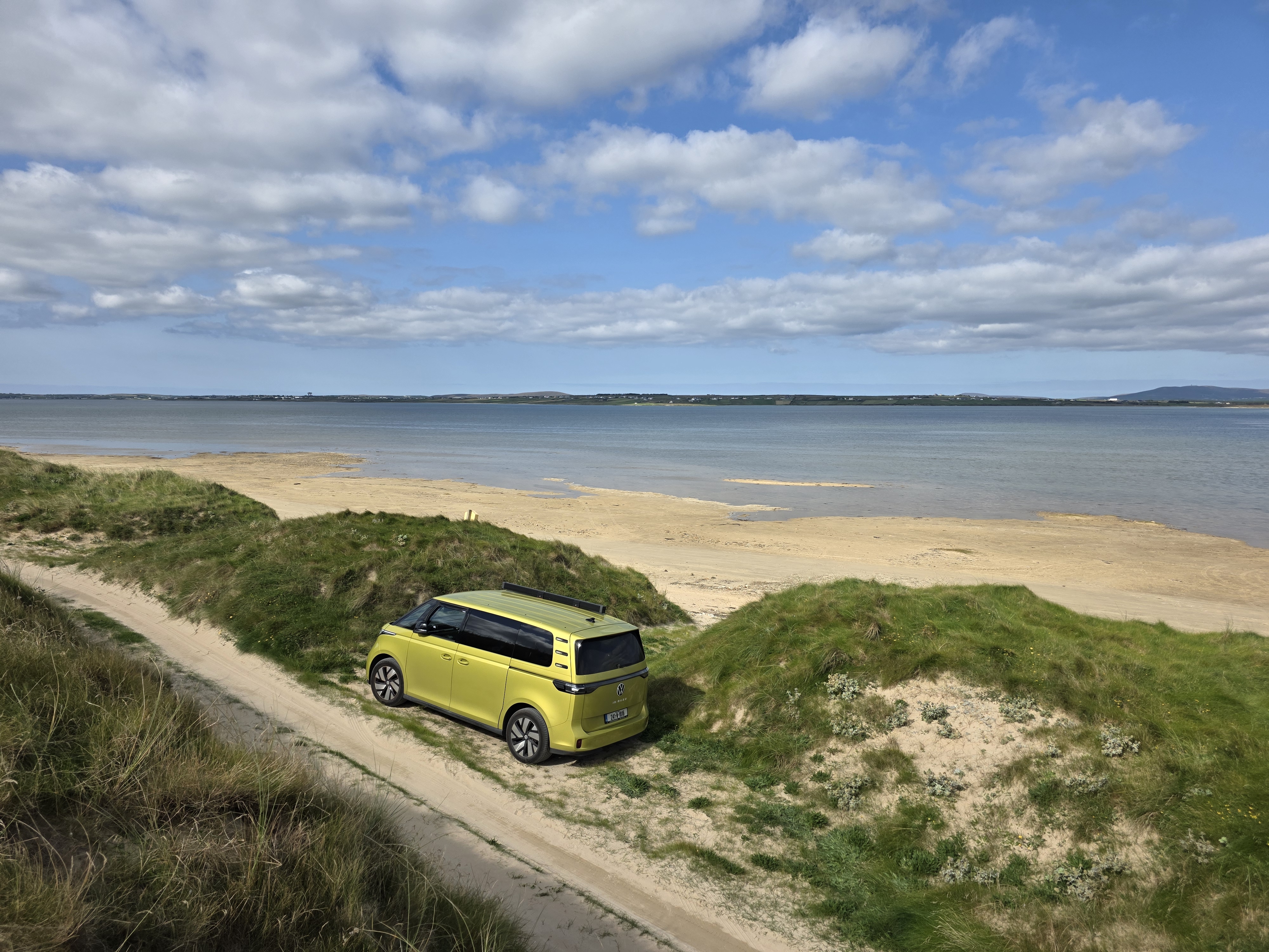
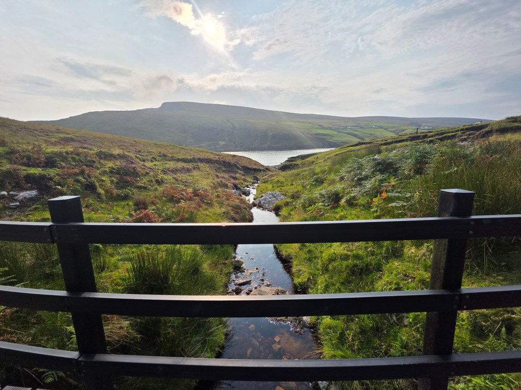
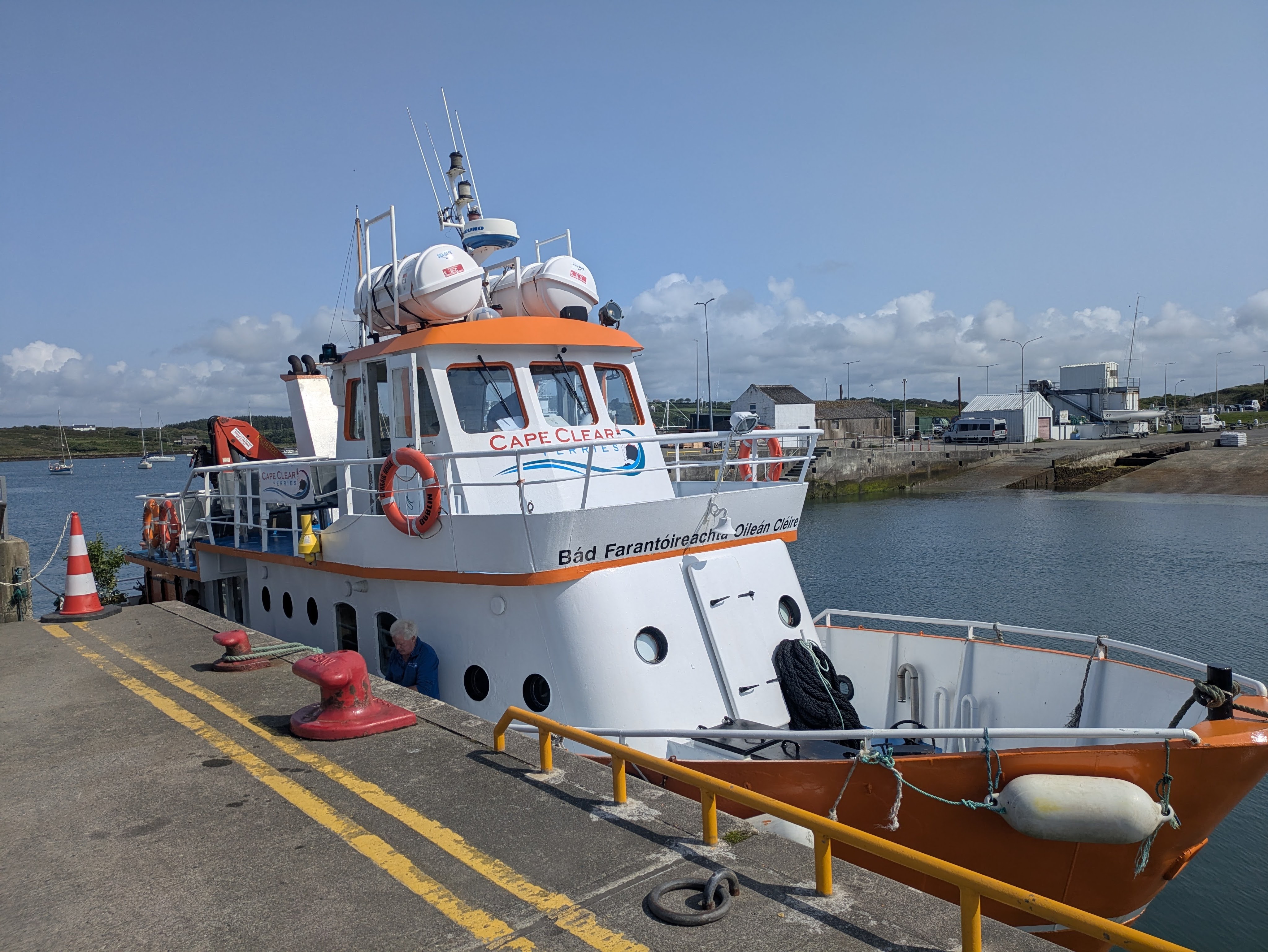
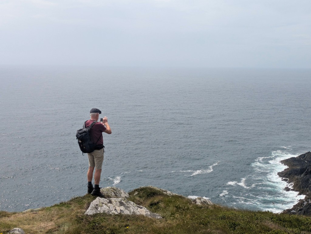
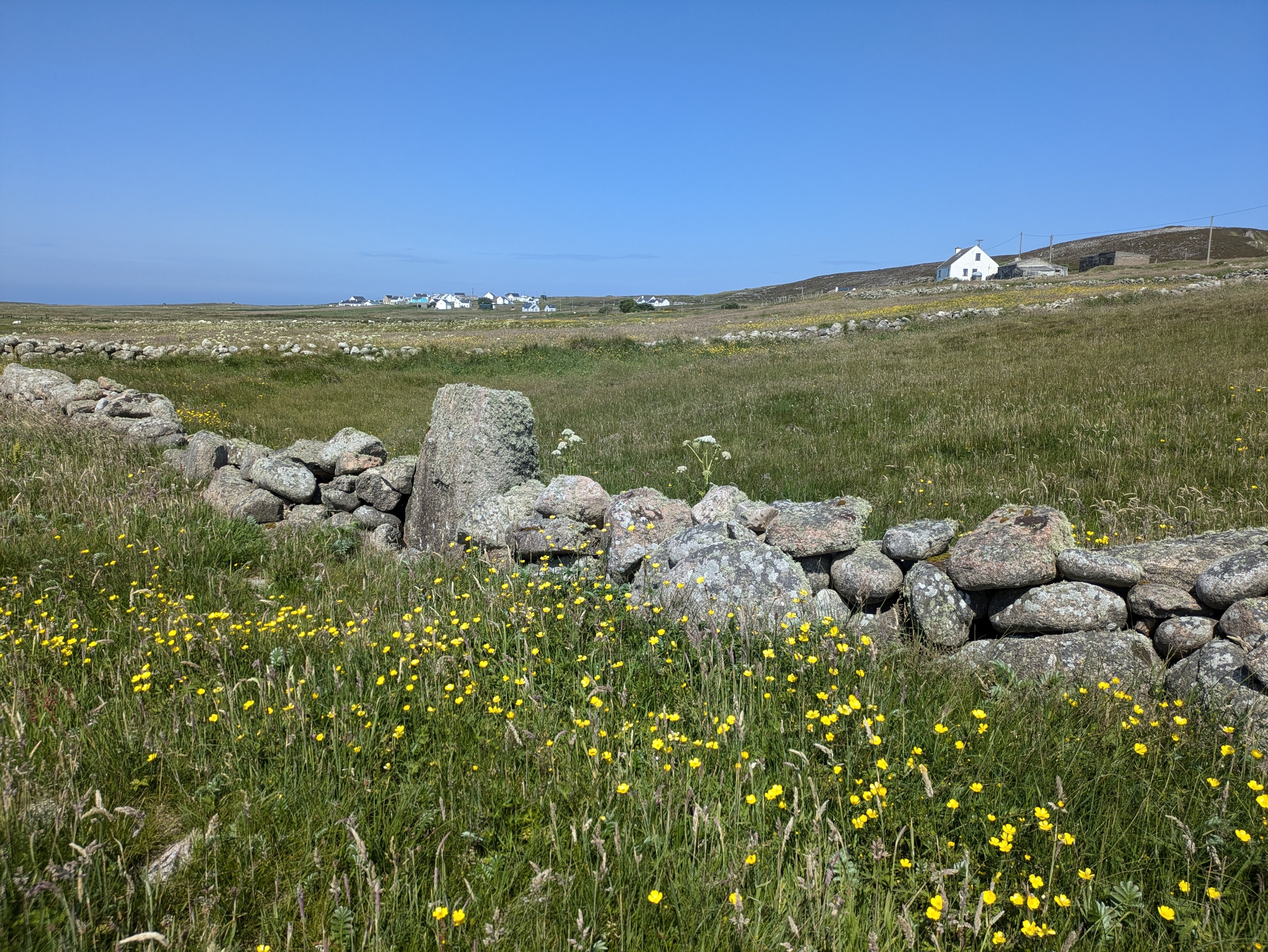
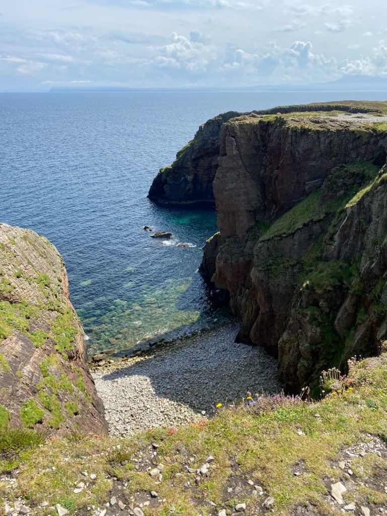
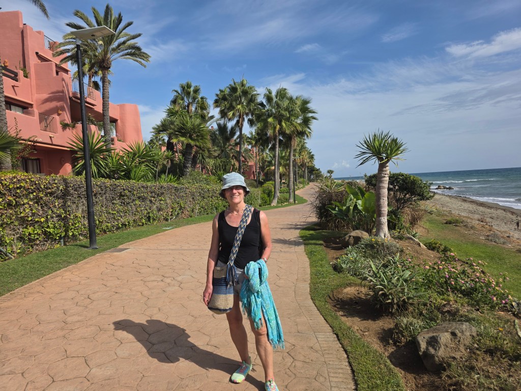
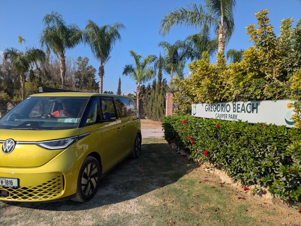
Malaga was gorgeous but too crowded and hectic for us so we continued along the Costa del Sol, past the high-rise holiday complexes to the western side of Marbella where we found a lovely campsite with good facilities, Gregorio Beach Camper Park , about a hundred meters from a quiet beach. The Wi-Fi was strong enough to upload photos and blog and it was cheaper, at €21 a night, than our hellish stay in the hills above Malaga the night before. We have never visited the Costa del Sol before but the beaches were not what we expected- no fine golden sand,  just long stretches of dun-beige but the sun shone and the October temperatures were a comfortable 24C, Ireland has far better beaches…..but maybe not the sun.  Spain was fabulous but Morocco was calling so we drove towards Algeciras, a port town with lots of ferries across the Strait of Gibraltar.

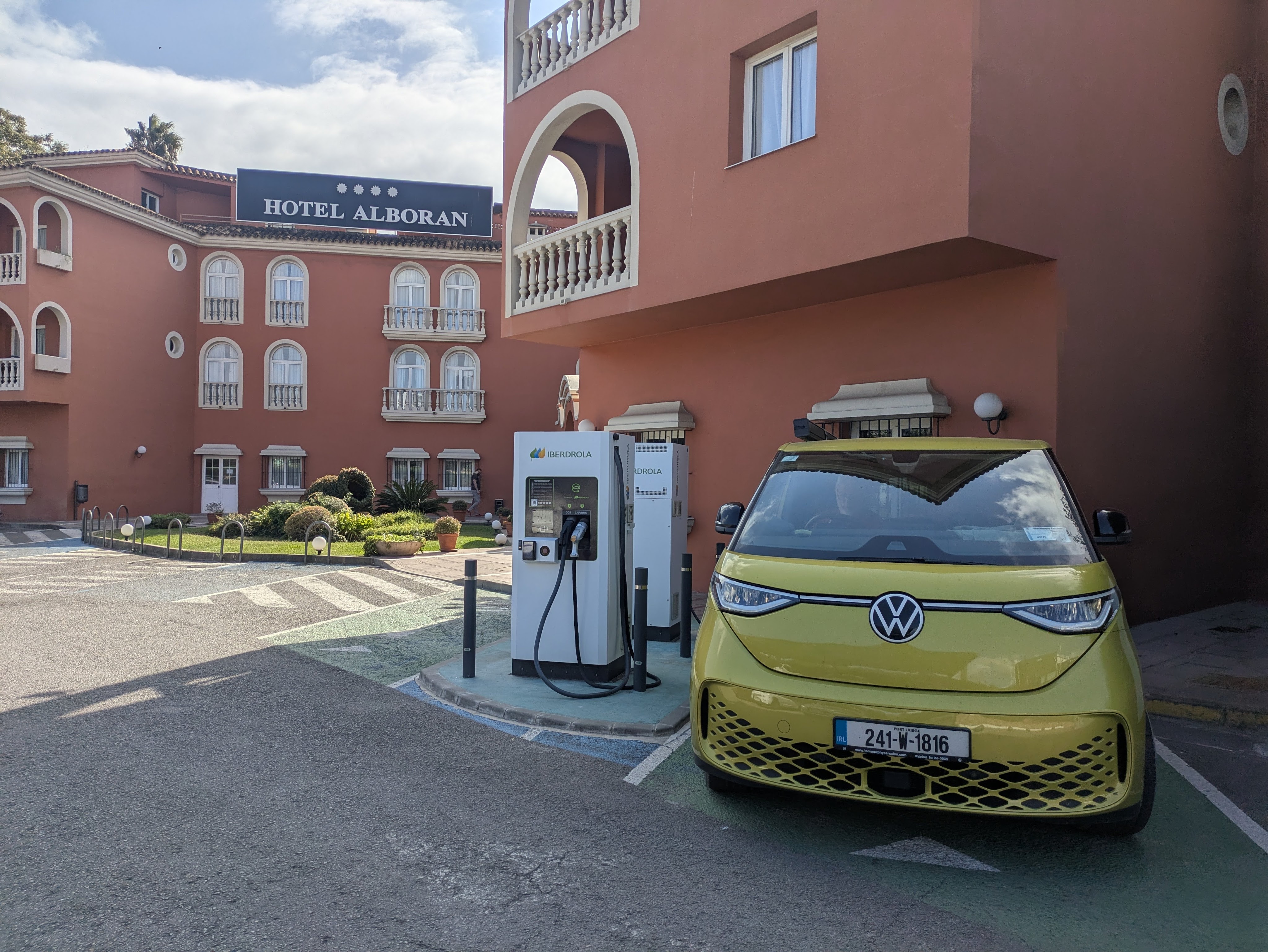
We tried to charge (Cepsa Chargers) in a garage forecourt near a Chino Shop where we bought camping gas canisters but the chargers were powered down and covered in dust. Then on to Ionity chargers down the road. Sun blazed on the screens making them opaque and impossible to read. Sweat dribbled off us and I searched for my umbrella to provide some shade and maybe make the instructions on the charger screen legible.  Although €40 was taken from Caoimhin’s bank card to validate it, we couldn’t get them to work. We next stopped along the road at a casino which had two Tesla chargers…these might have worked but they were only slow chargers so we pushed on and stopped at an Iberdrola charger outside a hotel on the outskirts of Algeciras. The Buzz charged to 100% here without issue and….best of all,  the charging seemed to be free (the cost hasn’t been deducted from my bank card…yet)

Free’ Charging, Algeciras, Spain

While we were charging, we booked the ferry to Morocco for the following morning. It was a little bit disquieting that the first time we had any charging issue in Spain (which has loads of EV chargers was the day before going to Morocco which has very few (41 chargers in the whole country according to one source and Morocco is about ten times larger than Ireland). Would our travels there be severely curtailed?

We could have sailed  from Algeciras–Tangier (Morocco) but Algeciras–Ceuta was cheaper and sounded interesting. Ceuta is not part of Morocco but is a Spanish coastal city on the African continent. A one-way ticket for two passengers and the van cost €183.

Then we checked into a hotel as there weren’t any campsites nearby– really splashing out at €60 a night. We read our guidebook on Morocco, feeling excited, until we made the disturbing discovery that we had forgotten to bring the Van Registration Documents with us! This hadn’t been a problem in Europe but it would likely be a real issue leaving Europe

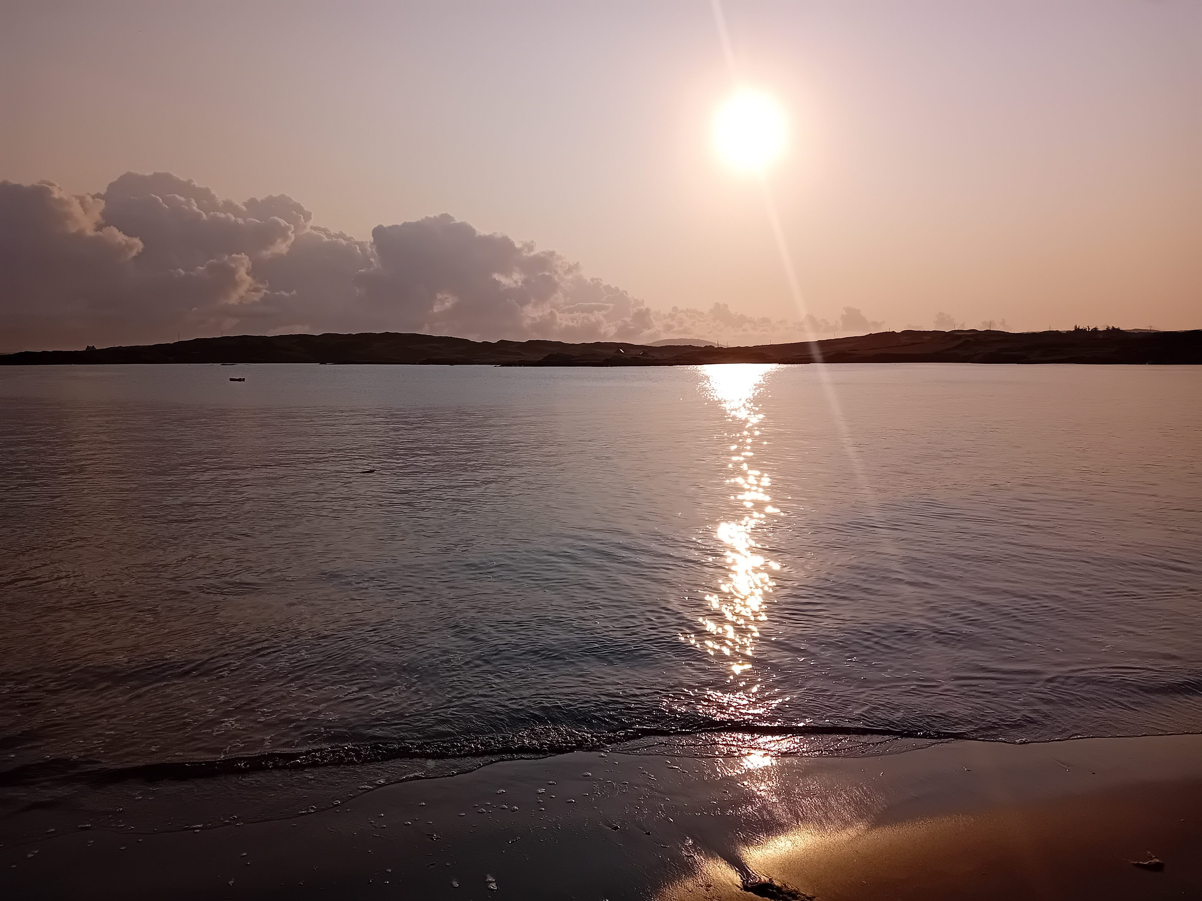
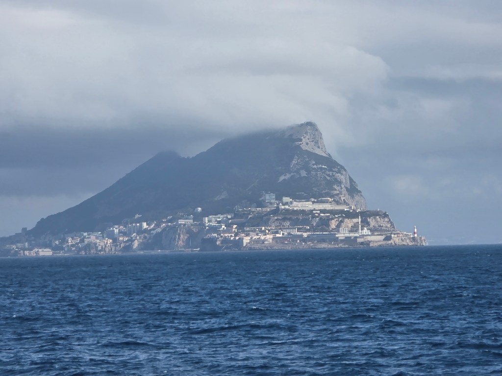
We were early. The woman in the ferry queue  in front of us wore a black burka and a beggar wandered down the row of cars with outstretched hand. The Med glittered in the morning light, although cloud obscured the Rock of Gibraltar  The African continent was tantalizingly close, …a mere 17 kms to Ceuta across the Strait.

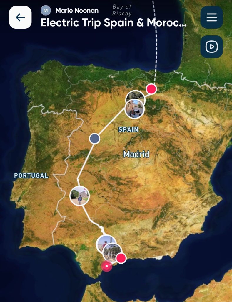
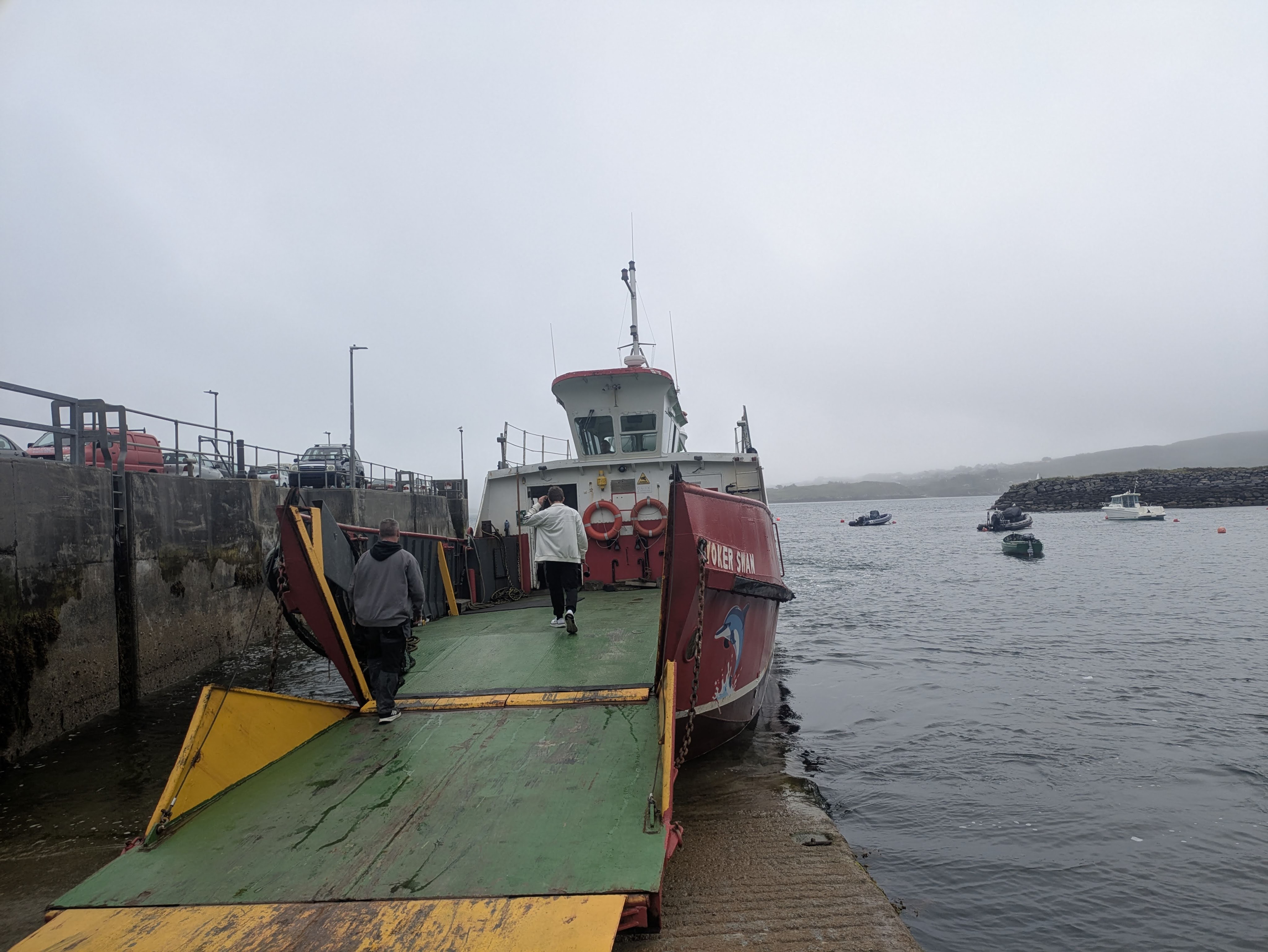
There was a brief custom check in Algeciras port, just a cursory look in the back seats and in the booth, for everyone except for  us. We were waved onto the ferry with a smile. I guess the rationale was that nobody in such a neon-coloured van could possibly be smuggling anything. The crossing was smooth and shorter than expected, about an hour. The time difference gained us an hour so we arrived in Ceuta, at the same time we had left Algeciras.  It felt as if we had departed Spain, crossed the water, only to arrive back in Spain. The city has been ruled by Spanish princes, Moroccan sultans and Portuguese kings down the centuries. Now it is surrounded by high-security barricades to prevent smuggling and illegal immigration to Europe.

Corralled in Ceuta….border waiting

Ceuta was a handsome town with Spanish architecture, plazas, old city walls and sunshine, we didn’t stop, anxious to get to the border (La Frontera) and discover our fate. An official demanded to see our ‘ticket,’ we didn’t know what he meant but he directed us back into town and uphill to a huge parking lot, where cars wishing to cross into Morocco were corralled before being released in rows to prevent border congestion…..in theory at least. While waiting, we phoned our great neighbours, who hurried over to our house, photographed our van documents (thanks Donal and Anita) and Whatsapp’ed them to us.  After an hour of waiting in the carpark, we approached the border a second time to join snail-like queues of cars, vans and motorbikes.  A further two hours went by before we were at the top of the queue. Our passports were stamped without issue, we were welcomed to Morocco and proceeded to the vehicle window. Like all the vans (no exceptions for the Buzz this time), we were asked to drive to one side where it was searched and then we were asked for the van registration form …and the trouble really began. They needed paper documents, it wasn’t the right document, we wouldn’t be allowed in.

Alternative itineraries were dancing around my head, if we had to return to Spain, we could wander around Southern Portugal….it would be very disappointing but not a calamity. Eventually a senior official was called, an older man, slightly stooped but mild mannered. He agreed to give us a waiver and signed a piece of paper, necessary to enter Morocco. Four and a half hours after disembarking from the ferry, we were in Morocco….by the skin of our teeth.

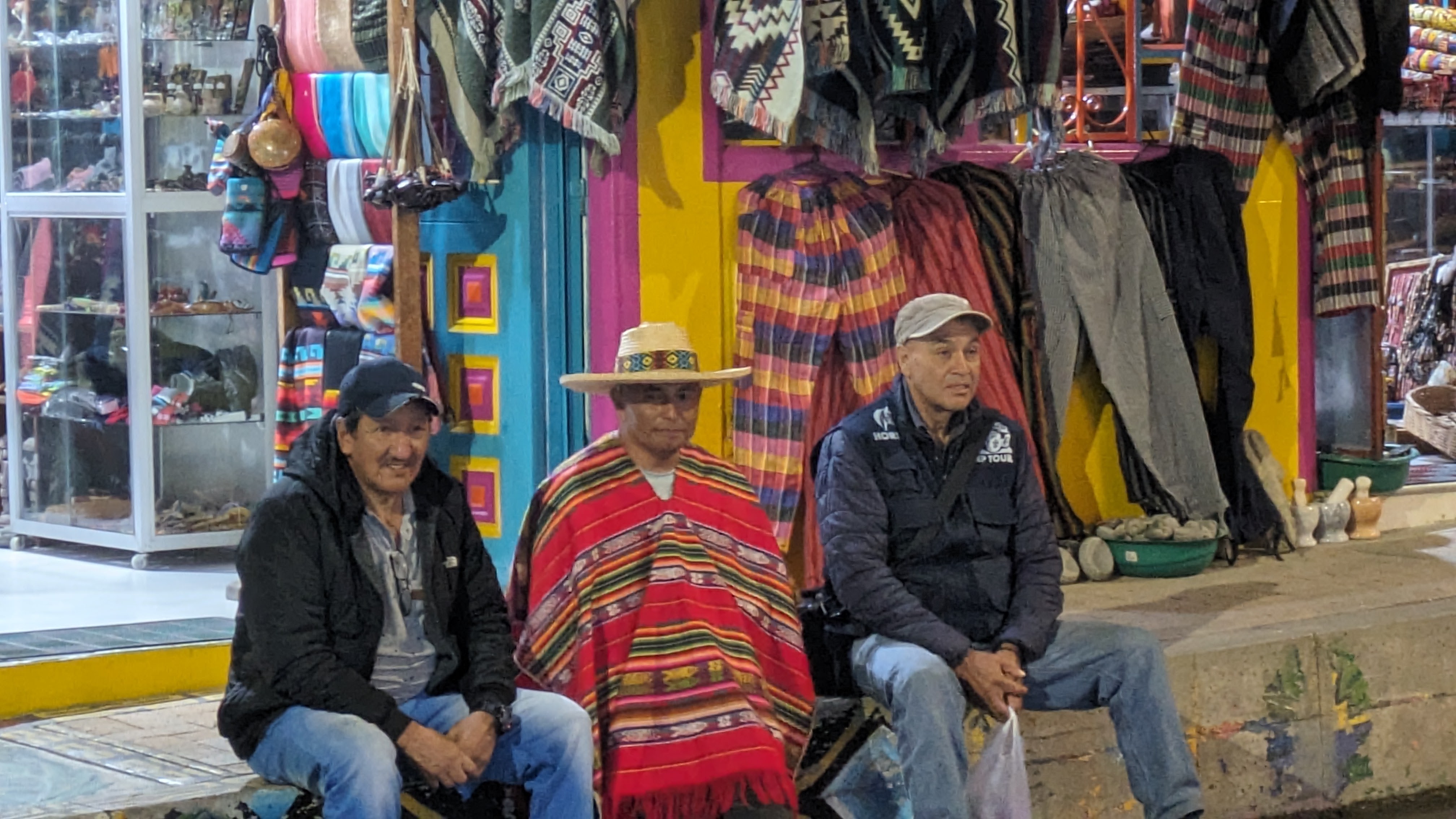
A row of white taxis hovered around the border gates,  a couple of dogs barked and ran uphill after the van, while several head-scarfed women sold fruit, laid out on the ground on colourful blankets. We kept going, wanting to get away from the border as quickly as possible. Thankfully, the e-sim we purchased from Revolut for Morocco activated, so we had mobile data on our phones without the hassle of haggling for a physical sim.

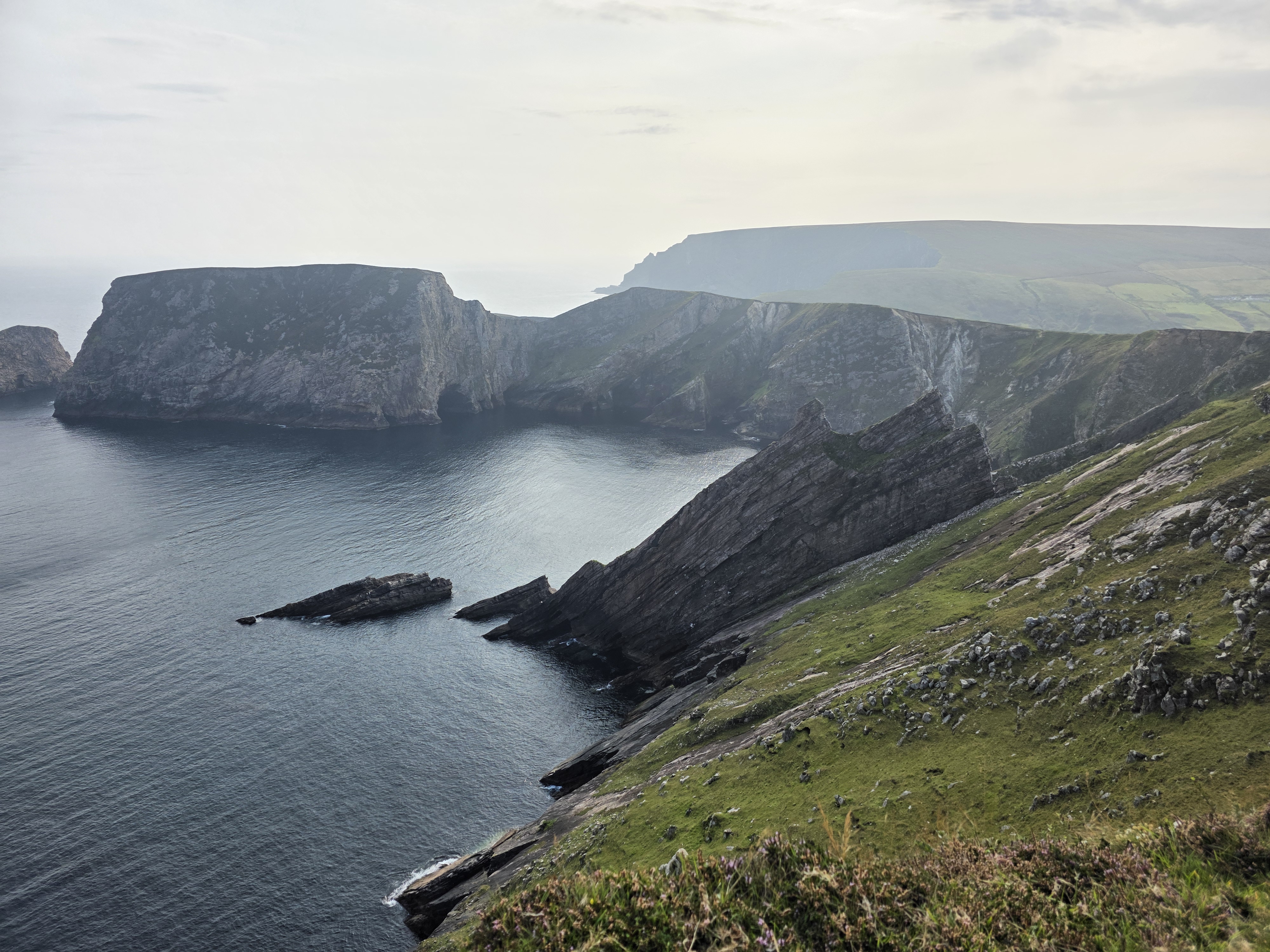
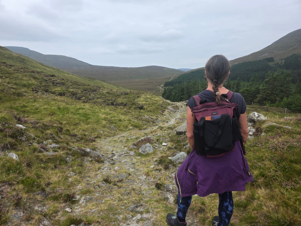
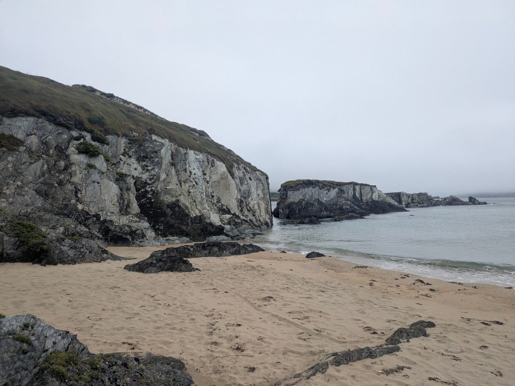
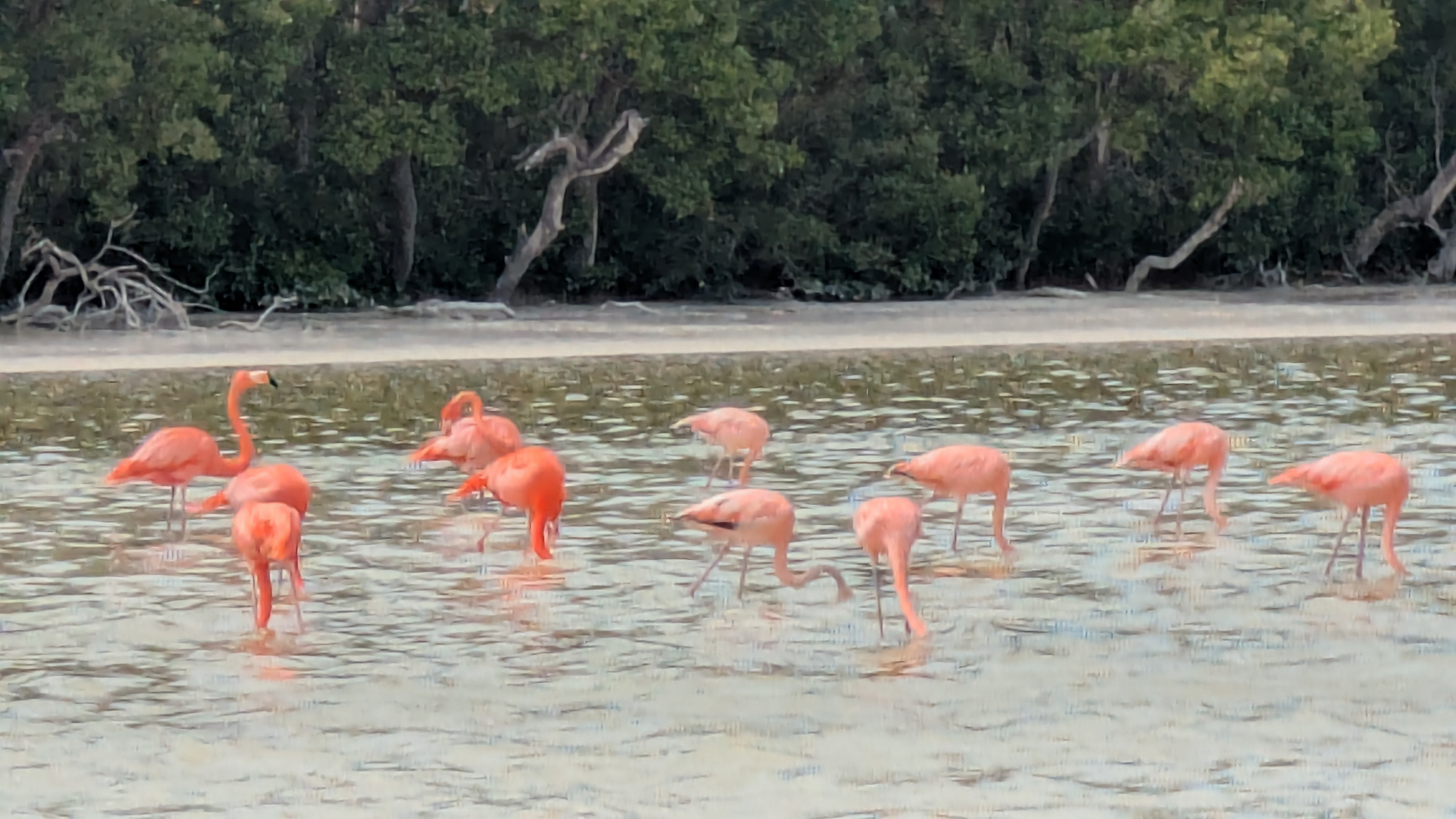
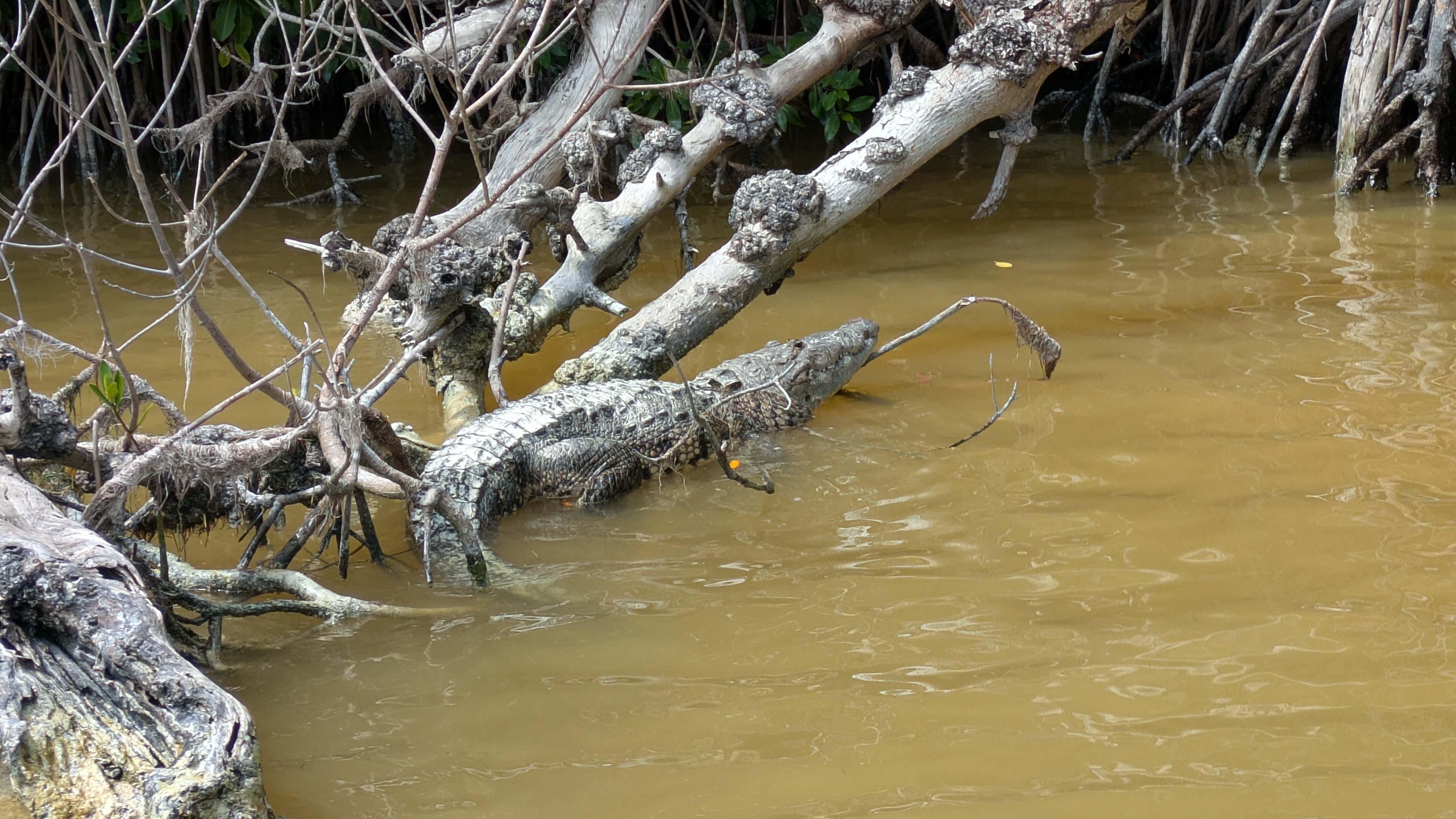
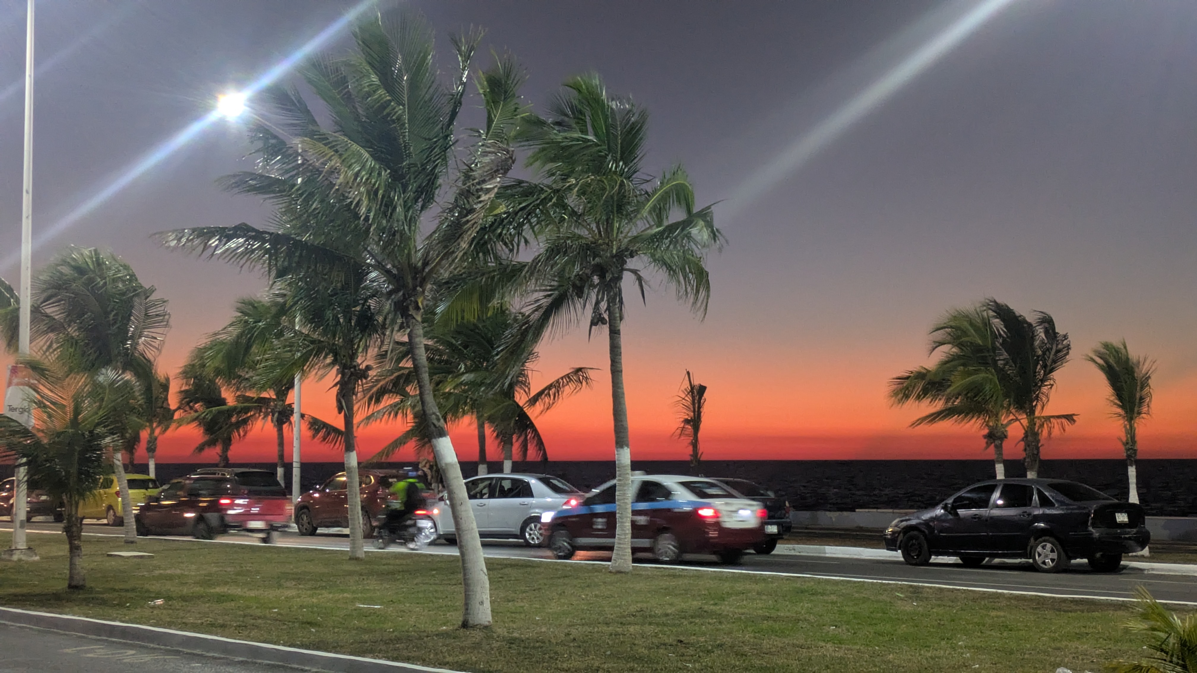
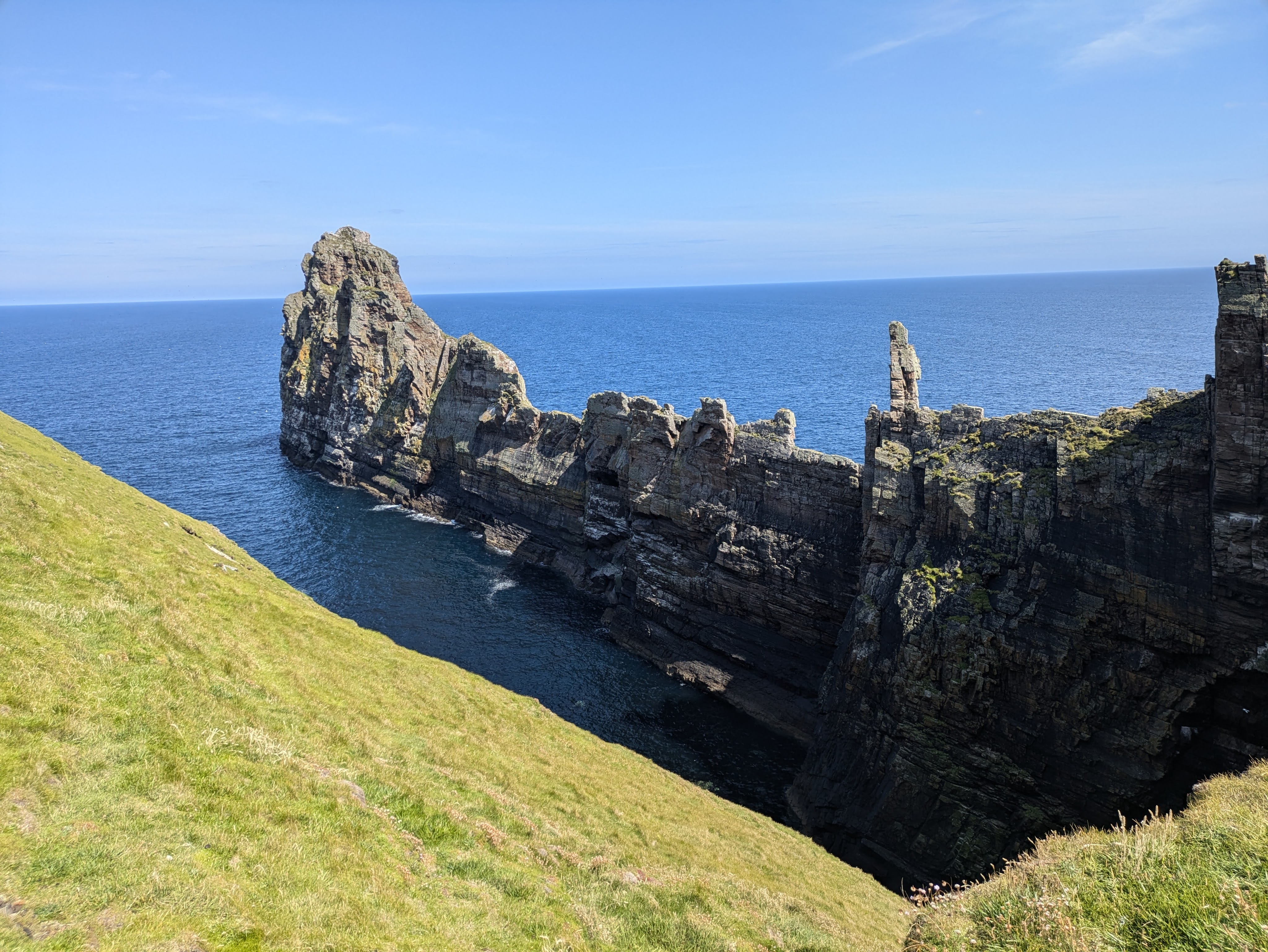
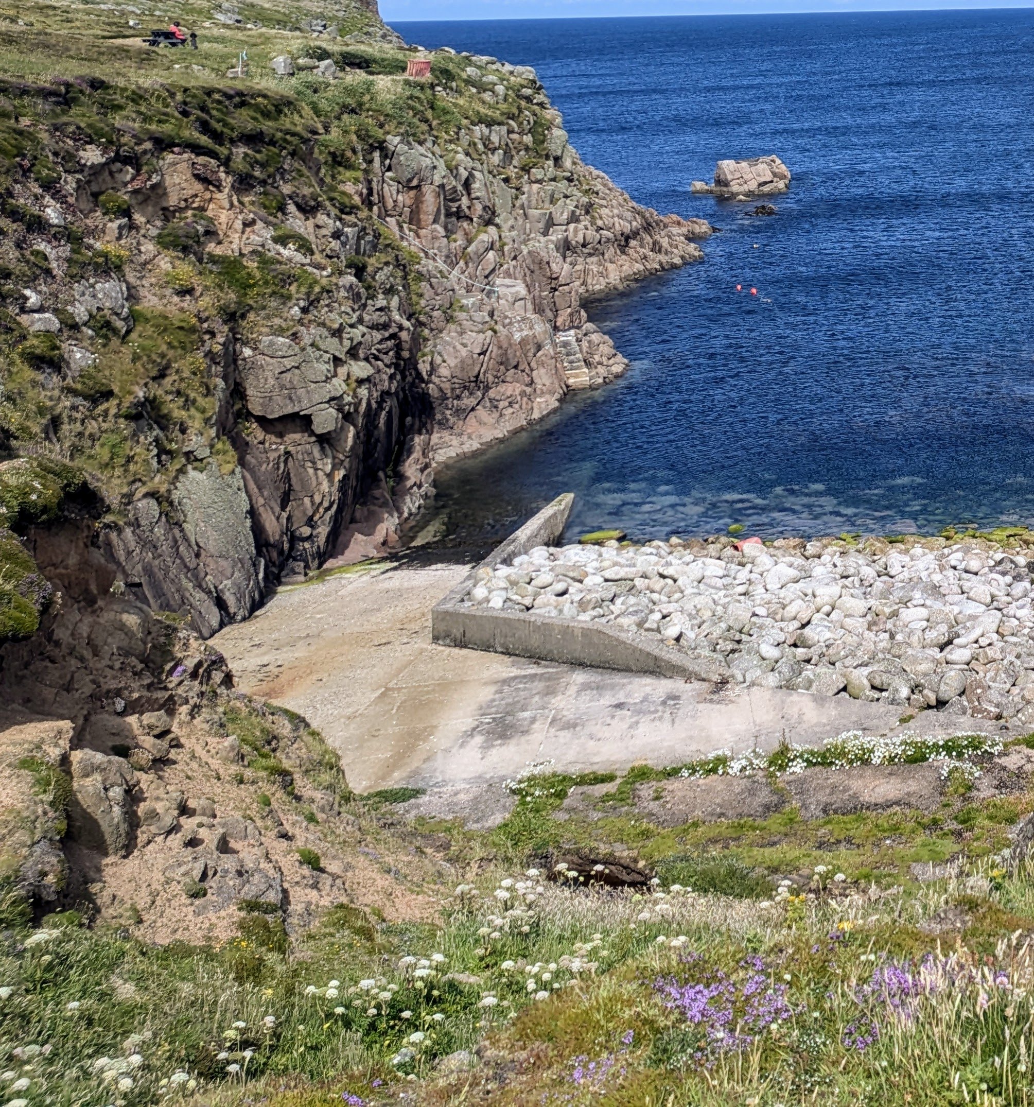
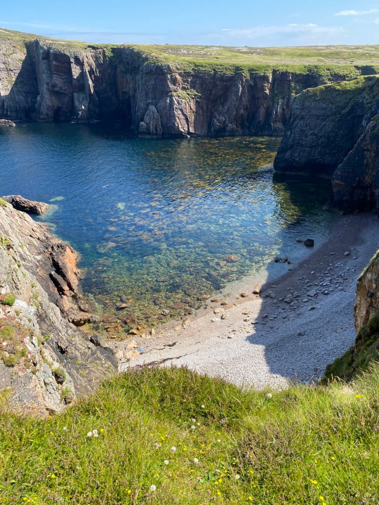
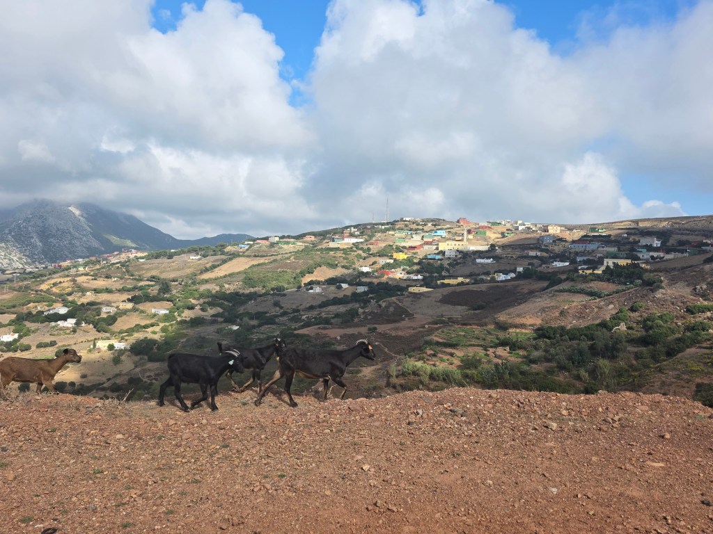
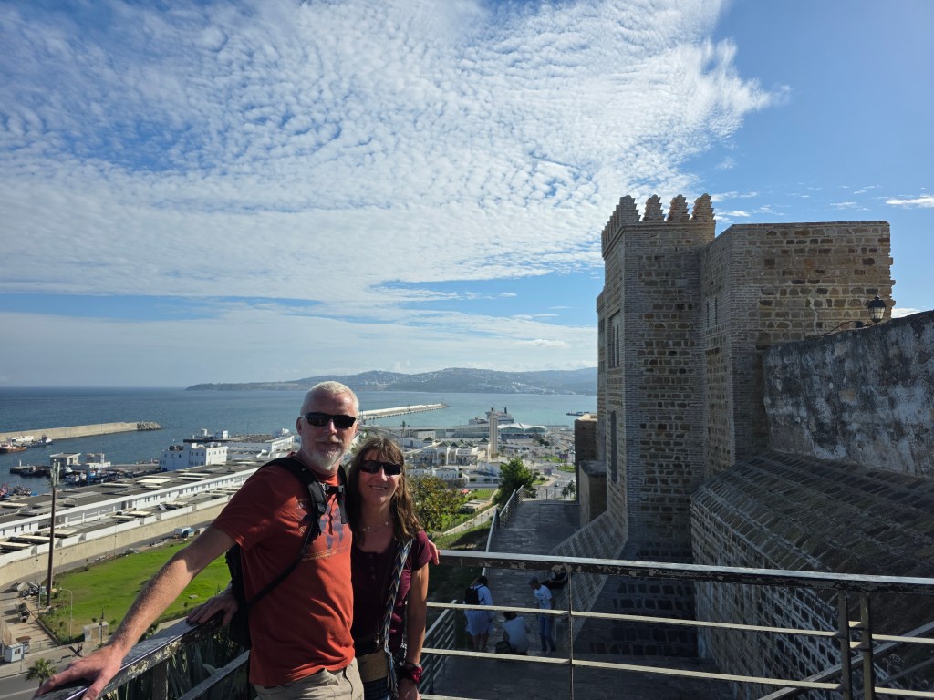
The road surface was excellent and the scenery was ruggedly beautiful with brightly painted, flat-roofed houses with mountains casting light and shadows. Although we were fully charged, we wanted to check out the Moroccan EV chargers, just to see if charging would be an issue so we headed in the direction of Tangier. The drive from Ceuta to Tangier was spectacular with the backdrop of the Rif mountains with small towns and some beautiful white-sandy beaches.

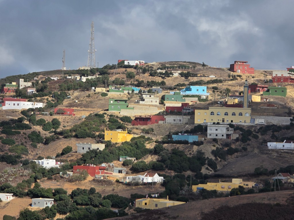
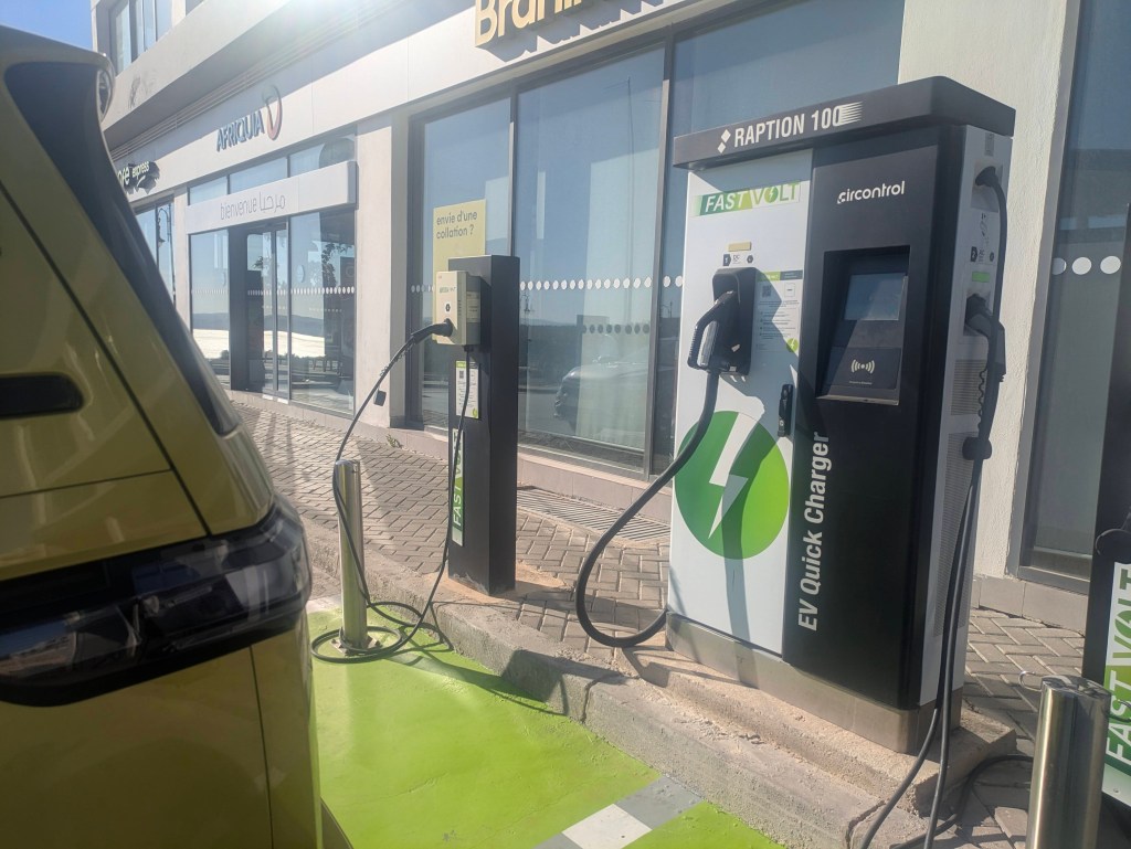
The first chargers that showed up on our map were Fast Volt, the chargers were in a gleaming forecourt and looked impressive. We were hopeful. The instructions, in French, required us to download the Fast Volt App as charging was only available through the app (and not directly using a bank card). No problem, we thought, until we attempted to download the app and kept  getting the message ‘Unable to download as app not available in your region.’ Catch 22. The next chargers on our map were part of a Casino Hotel and their use (behind a manned barrier) was for hotel guests only and we were refused entry  Tangier seemed a modern city with palm lined boulevards, a wide esplanade along the sea-front and buildings on the steep slopes, a city of hills and hollows.

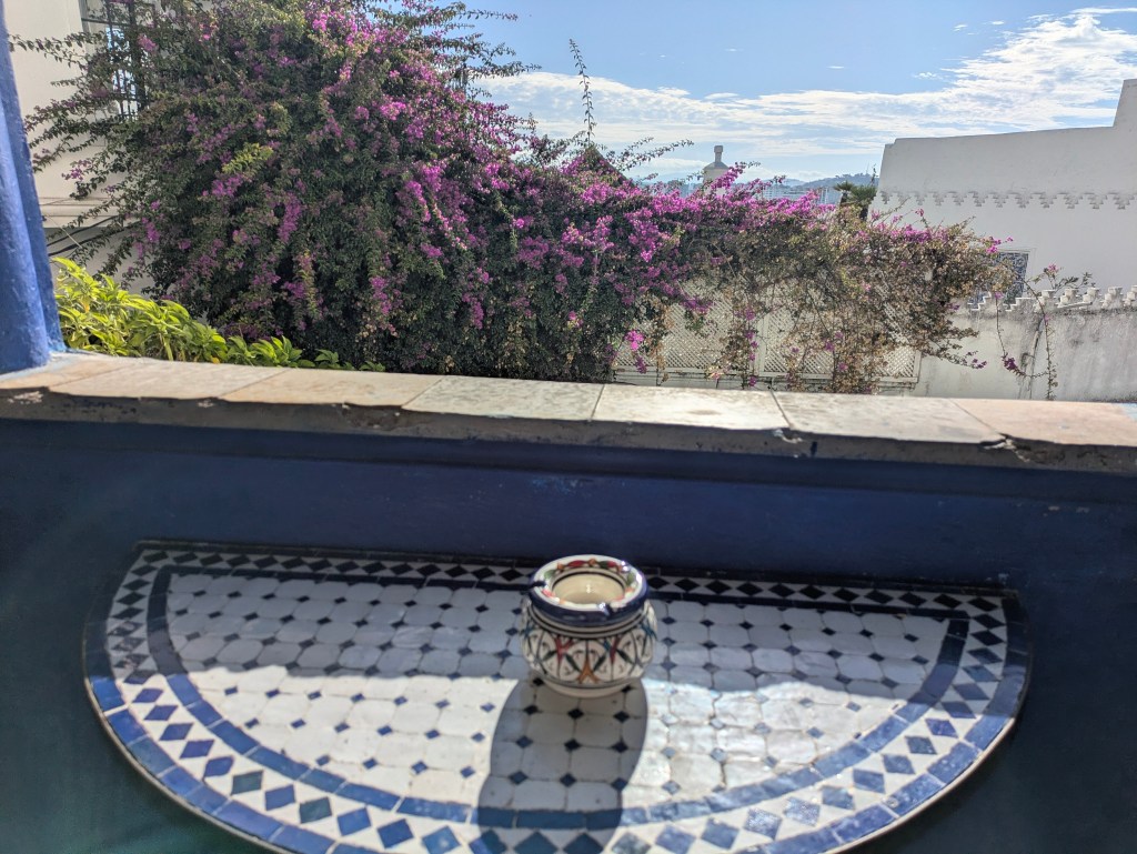
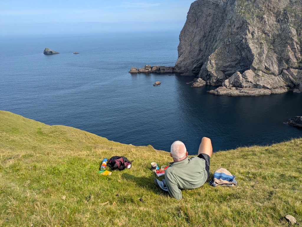
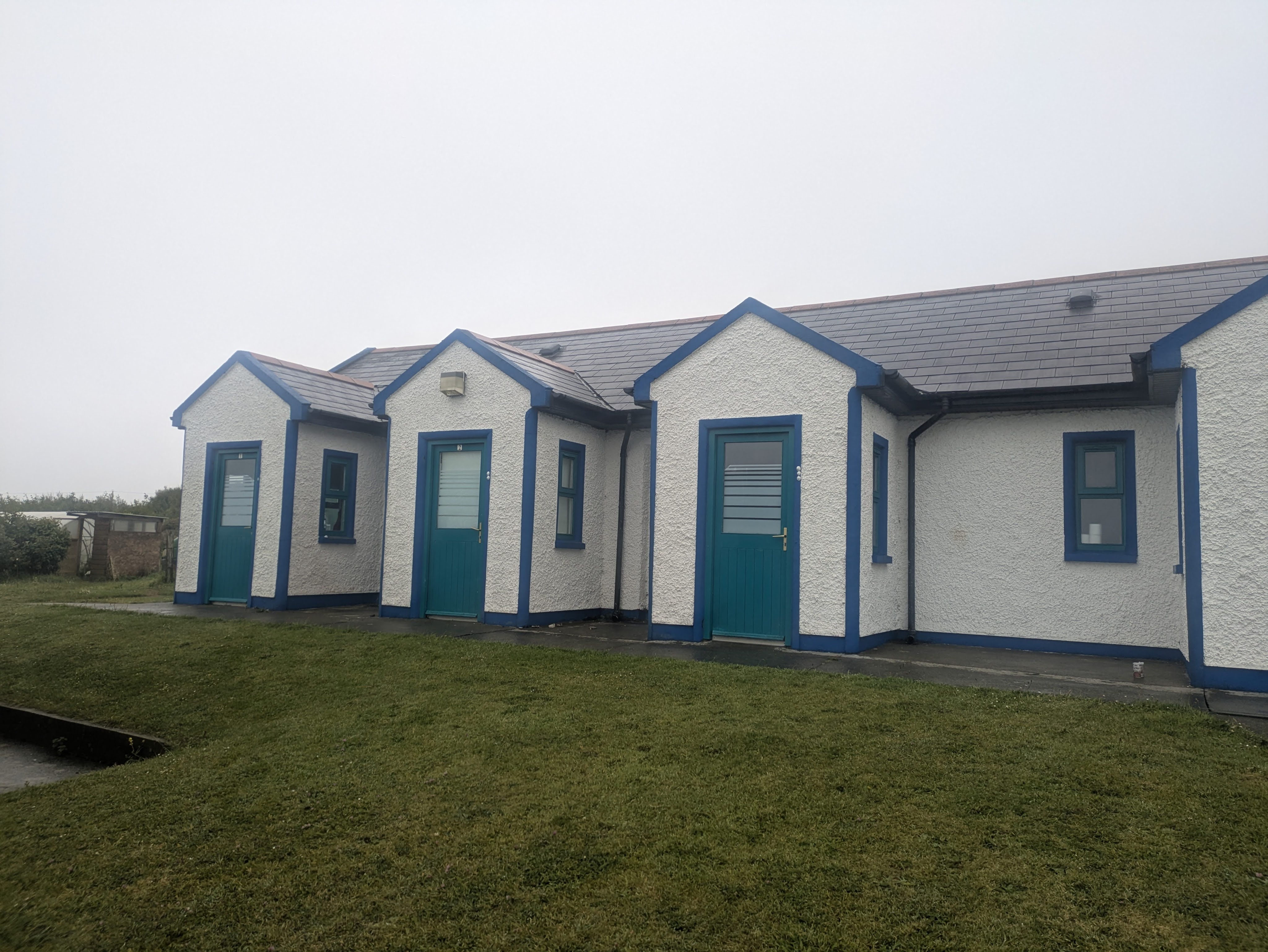
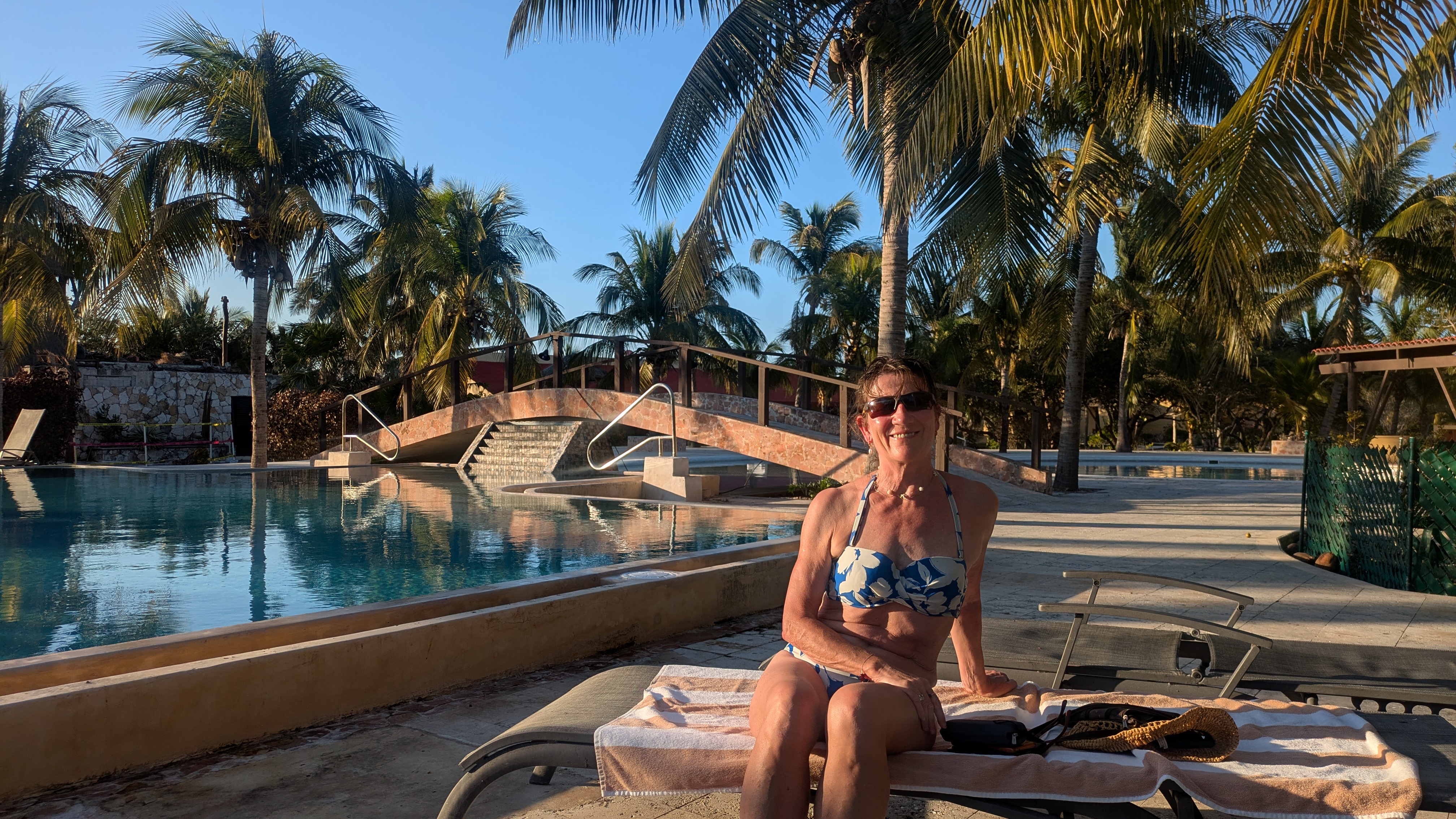
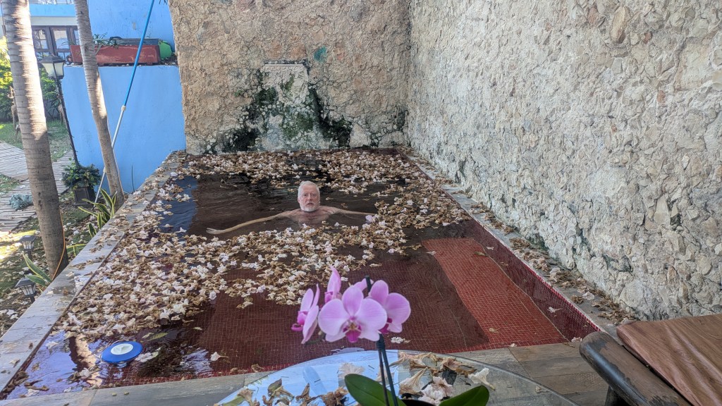
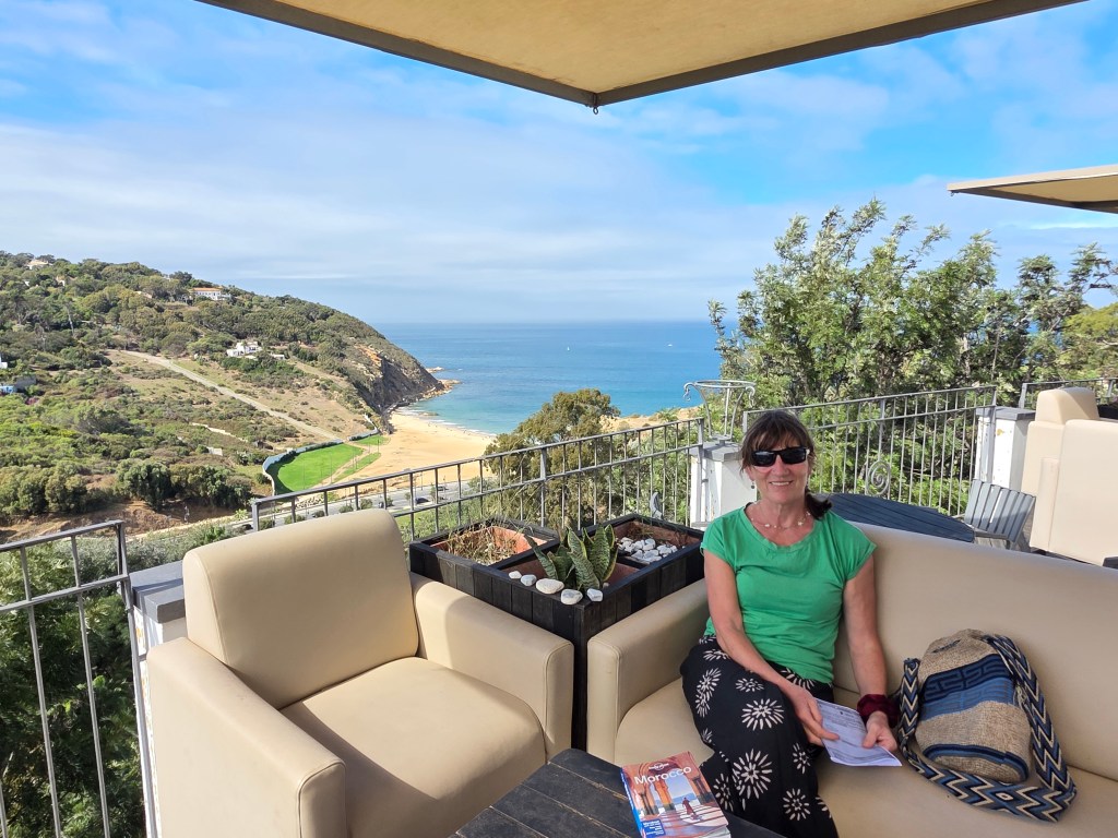
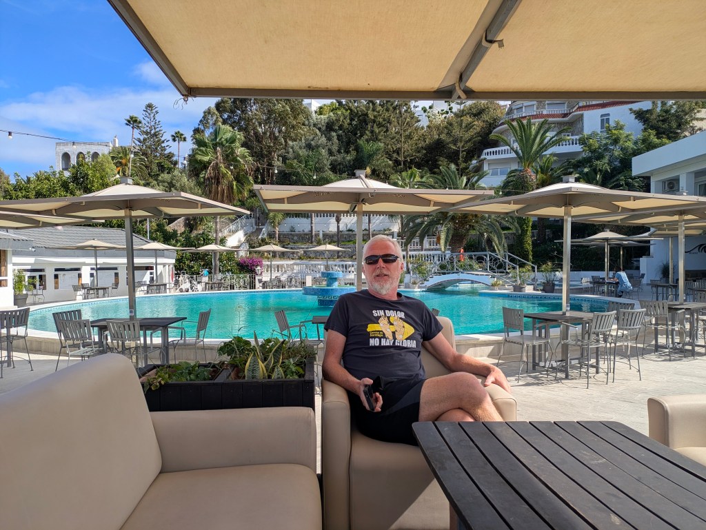
We headed to a Google campsite, Miramonte Camping, in need of a lie-down after the stress of the day and were welcomed by Said, in perfect English The campsite in a hilly location was really a resort complex with three swimming pools and stunning views of the Med. We feared it might be way above our budget but it was about €19,50 a night, which, although expensive for Morocco ,was excellent value for us.

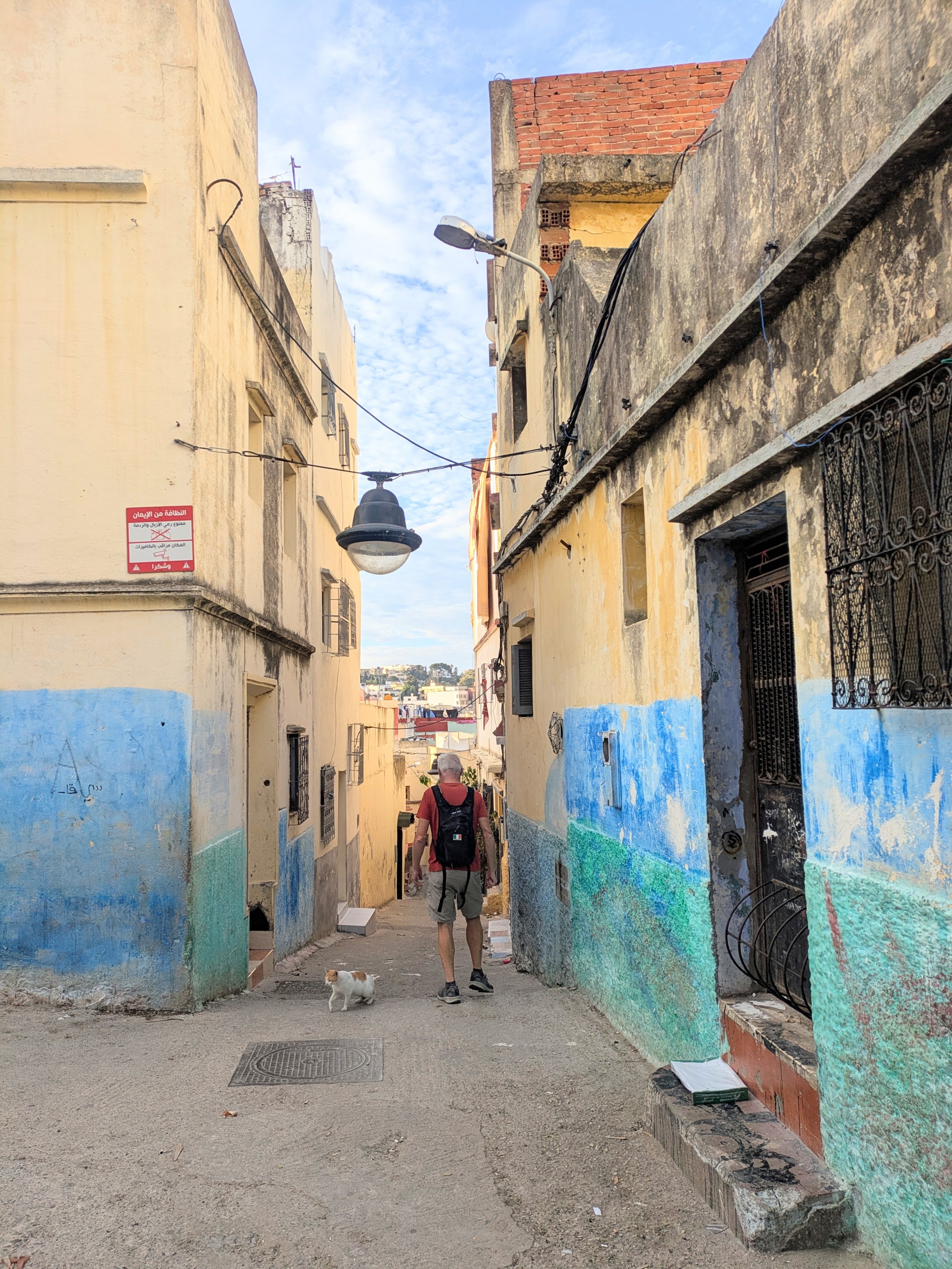
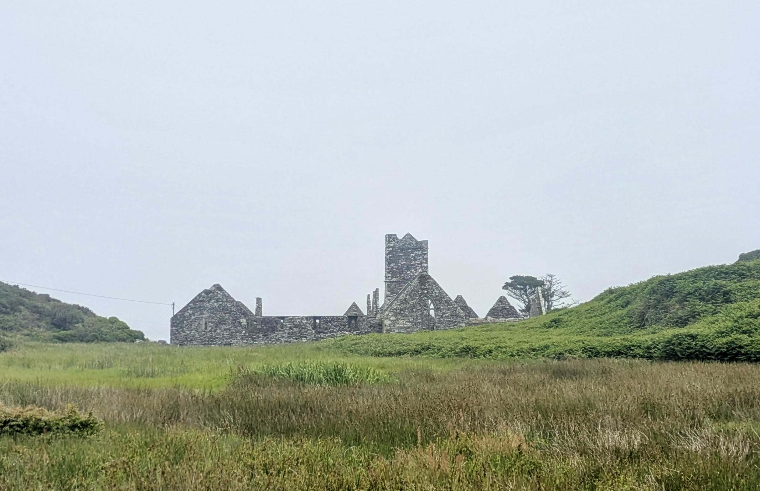
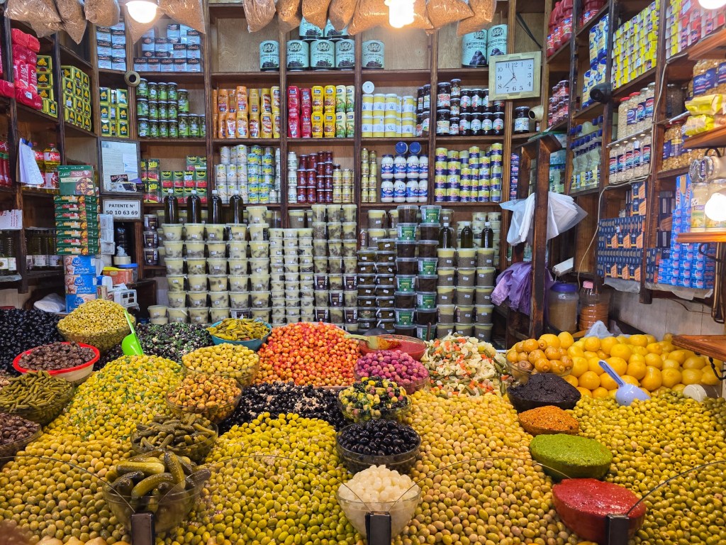
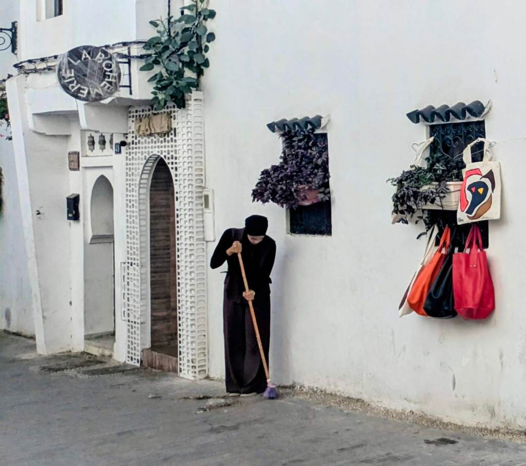
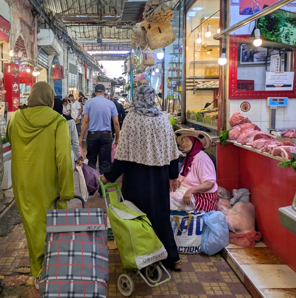
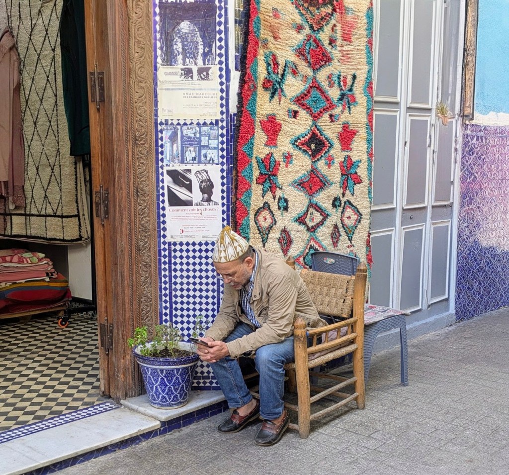
A walking tour of the medina and souk in the old town gave us a flavour of the city, a place where mosques became churches before changing back again, where being the ‘Gateway to the Mediterranean’ was both a blessing and a curse, a pawn and a prize, a strategic position to be coveted and fought over down the centuries.

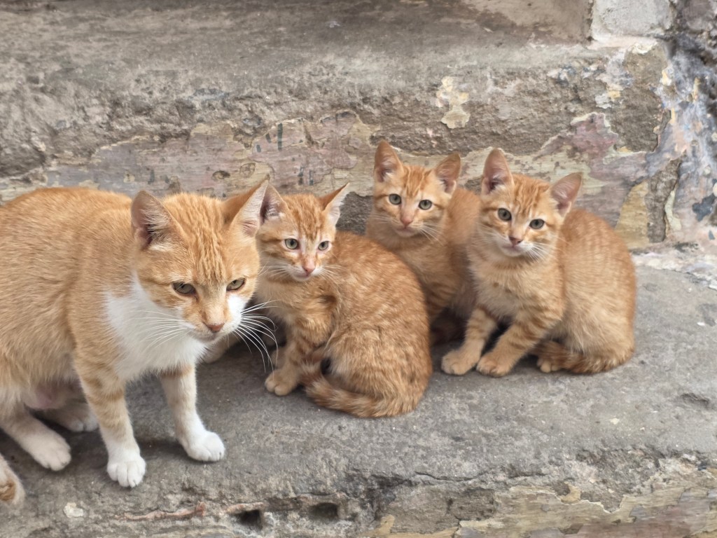
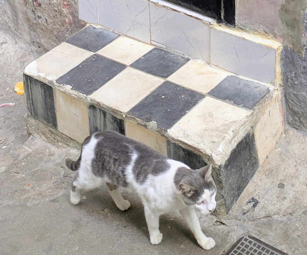
The sleepy back alleys were full of cats, all seemingly related, except for one tabby who blended so perfectly with the black and white tiled step.

We lingered at our luxury campsite for a couple of days. We still haven’t managed to charge the van……but as we have almost 400kms in the tank, we can always drive 200kms and then return if all else fails.

‘Till next time. Thanks for your company

Merci d’avoir lu

Electric Travels: Onwards to Morocco

Campervanning in North Mayo: A Scenic Adventure

It was a week to remember, a week in late August, spent campervanning around Mayo, a week of spectacular walking on stunning coastal paths, pristine white-sand beaches, lonely bogs and remote mountains and even a pilgrimage route, Tóchar Phádraig,  an ancient druidic path to reach Croagh Patrick.

We started at Portocloy Beach on the far North-West Mayo Coast in a Gaeltacht area. If ever the phrase ‘off the beaten track’ was appropriate, it was here. We watched a lone gull, the only sign of life, gliding and swooping over the calm harbour waters.  There were no crowds, cafes, shops or bars, just a picture-perfect beach, isolated by miles of blanket bog and nestled deep into a natural harbour, Carrowteige Cove, a safe haven for swimming or snorkelling and a little pier for fishing boats. There were temporary toilets in place for the summer months which was good news for us as we were sleeping in the van (the ID Buzz).

Parked up at Portacloy Harbour

Portocloy Beach is also the start point for a truly spectacular cliff walk along the sea edge all the way to the extraordinary cliff views of Benwee Head (Binn Bhuí). This walk has a combination of rolling hills, expansive bog views, dramatic cliffs, jaw-dropping ocean and sea stack views, and more sheep than we could count. It is a well-marked trail with black poles and purple arrows, clearly visible on a beautiful cloudless day. The weather was perfect for us, blue skies with a light breeze, perfumed from the heathers, but on gusty days, care would be required because of the trail’s proximity to steep cliffs. We hiked an out and back route (about 13kms) but it is also possible to do the Carrowteige Loop Walk, which covers much of the same trail but is looped.

Rincoe Strand was only a ten-minute drive from Portocloy. It looks out across Broadhaven Bay towards the Mullet peninsula with a sandy beach on either side of a small peninsula. There were far more sheep than humans with the sound of bleating mingling with the lapping waves……until two busloads of Irish language students arrived for a swim in the crystal- clear waters… but peace came ebbing back when they scrambled onto their buses after about an hour, leaving a few campervans and the sheep.  We walked uphill past the walled graveyard to Connolly’s Pub (Teach Conghóile), a cosy place with spectacular sea views where a couple of locals were sipping pints. The whole area had a desolate beauty with hardly a tree or bush…it almost felt like we were on an island with the sea and water in every direction. A local man, who now lives in Wexford, told us with nostalgia of the ‘good times’ growing up here, when children ran wild and free, and fishermen travelled to England to find work during the winter months and boys, as young as thirteen, went to Scotland to pick potatoes, known as the tattie hokers.

After Rincoe, we headed south along the coast, stopping for lunch in Belmullet before continuing to Claggan Island, Mayo’s newest island, having only being officially declared an island in 1991. The tiny island is situated on the northeastern corner of Blacksod Bay, about 12km from Belmullet. It is linked to the mainland by a narrow, sandy causeway that divides Tramore Bay from Blacksod Bay and it is circled by beautiful sandy beaches in every direction you look with some amazing views of Achill and the Mullet Peninsula. It was easy to spot the first-time visitors…they were the ones driving on the rough sandy road while the locals used the beach.

Driving around the roads of North Mayo, we kept seeing signs for Tír Sáile without knowing what it was. By the time it registered that this was a Sculpture Trail, we had passed most of them. Tír Sáile  originated in 1993 when fourteen site-specific sculptures were installed in spectacular locations around the coast (sáile is seawater). One of the sculpture was on Claggan island, titled ‘Acknowledgment’, a 50m long sculpture of stone and earth, a tribute to the anonymous dead, whose memories have been lost in time. 

South  of Claggan Island, there seemed to be an unending supply of more white-sand beaches with the distinctive silhouette of Achill Island on the horizon in the distance.  Doolough Beach was empty apart from a man walking five dogs who told us that whales were spotted in the area the day before. Doohoma Head had a wooden seat with a dreamy Achill view but it was time for us to turn inland towards the mountains.

We stopped at the Ballycroy Visitor Centre in Wild Nephin National Park, a modern building full of light and clean lines with knowledgeable, enthusiastic staff and a lovely café. Wild Nephin National Park is huge –  a vast 15,000 hectares of uninhabited and unspoilt wilderness, dominated by the Nephin Beg mountain range and the Owenduff Bog, one of the last intact active blanket bog systems in Western Europe. Martin, who worked in the centre, explained the vision for the future with conservation plans for reforesting the park with native species and  a focus on education.

Just inside the visitor centre was a huge star-studded poster with the caption ‘The darkest skies reveal the brightest stars’ because Nephin has some of the darkest, most pristine night skies in the world and is officially certified as a Gold Tier standard International Dark Sky Park.  The Mayo Dark Sky Park extends across the entire National Park….there was even a viewing platform on the grounds of the visitor centre. The best time for star-gazing is the clear crisp winter months but it is possible on any night for visitors to see with the naked eye thousands of twinkling stars, other planets in our solar system, the Milky Way and even meteor showers…if they are lucky.

On Martin’s advice we headed to the Letterkeen Trailhead, about a forty minute drive, northeast from the centre,  a trip into wilderness and blizzards of midges at dusk. Unfortunately the skies remained cloudy for us that night with only a smattering of stars but the Letterkeen Loop walk the following morning was gorgeous, with different terrain from stony sheep paths, forest trails to sucking boggy paths where we almost lost a boot. Although the air was thick with moisture, it didn’t actually rain. We enjoyed panoramic views of inky-black lakes, brown streams and a feeling of deep isolation and silence. Nephin has been called ‘the loneliest place in the whole country’ because of the absence of human habitation and mobile coverage is patchy. We didn’t meet a single person on the trail although there were a few cars parked at the trailhead, which also had spotless port-a-loos.  

Our next stop was Ballintubber Abbey, founded in 1216 and one of Ireland’s oldest surviving abbeys and the hub of the ‘Irish Camino,’ and one of the five medieval pilgrim paths of Ireland. It is the starting point for Tóchar Phádraig, an ancient pilgrim path that stretches to Crough Patrick.

Tóchar Phádraig predates St. Patrick, originally built about 350AD as a chariot route from Rathcruachan, the seat of the kings and queens of Connacht, to  Cruachan Aille, as Crough Patrick was called in Pre-Christian times, a mountain sacred to our pagan ancestors.

Pilgrims must register in the Abbey before setting out, where they will receive maps, advice and a booklet which gives some information on the many points of interest along the way. We registered on Friday afternoon so that we could get an early start on the 35kms route the following morning as the office opened at 9.30am. The walk can be broken into two parts, the first section to Aghagower with its round tower, and the second section to Crough Patrick but we hoped to complete it in one go.  We were branded on the back of each forearm with a small green cross, evidence that we had registered and paid our dues should any farmer or landowner request proof.

The morning started grey, in a light drizzle, the type of West of Ireland rain that was very wetting but the day cleared after an hour or two. The camino wound its way through open farmland, fields of grazing cattle, sheep and a few horses. We trekked through woodland and forests, stepped over countless stiles with the Tóchar cross sign etched into the stone and tramped along country lanes past hedgerows laden with abundant bounty – blackberries, sloes and haws and moisture drizzled cobwebs.

There were numerous storyboards, highlighting points of interest, a welcome opportunity to stop and read. This was not only a spiritual pilgrimage but also a cultural and historical journey through the ages, a fascinating blend of pagan and Christianity, a place of history and pre-history where every tree, stone and rock had a story to tell – mainly of famine, hardship and betrayal but also of healing and goodness. Sometimes in the silence, all I could hear was the beating of my heart and the sound of my boots on the earth. While the first section was predominantly off-road, the second section was mainly on paved country roads and laneways.

With our damp start and the high wet grass, our feet were wet from the very beginning and we contemplated giving up at the halfway point but we persevered. Crough Patrick loomed out of the landscape, a focal point since ancient times,  and seemed to beckon us forward although for long sections, it didn’t seem like  we  were getting any closer as we plodded along. There were signs saying ‘No complaining’ in several places which we tried to obey.

 Although the trail was well-marked, we managed to lose it several times, back-tracking until we picked it up again. There are several guided walks each year, organised by the Abbey, which would be easier as we wouldn’t have to concentrate on finding the markers ourselves but we were a week too early for the August guided pilgramage. We finished with a sense of achievement…. and exhaustion with shrivelled feet… after a long day of blisters and contemplation.

We barely scratched the surface of what North Mayo has to offer but one thing is certain, we will certainly return if we can.  If stunning scenery, amazing deserted beaches, superb hiking  and starry skies are your thing, then Mayo is definitely the place to go. The locals are an added bonus, probably the friendliest people in the whole country and certainly the most talkative.

We had no problem with the electric van, charging it in Ballina and in Westport.  This van trip was so successful that we are considering going further afield. Might it be possible to drive to Istanbul or Casablanca…..and back?

Thanks for reading

Campervanning in North Mayo: A Scenic Adventure

A Tale of Two Islands, Sherkin and Cape Clear

There’s something appealing about visiting islands. Maybe it’s the isolation, the idea of ‘getting away from it all’, the rugged beauty of most islands or the desire to experience  a simpler rhythm of life based on sea and tide. Ireland has a plethora of islands scattered about its coast, more than eighty in total with about twenty of them  inhabited.

A few years ago, we pledged to visit all of them, or at least the inhabited ones, and we have been slowly ticking them off our list.  Last year, we visited Tory, Ireland’s most northerly, inhabited island and last week, we went in the opposite direction towards Sherkin Island and Cape Clear, Ireland’s southernmost inhabited island.

The carpark near the pier in Baltimore was surprisingly full, mainly of small elderly cars. The crew member on the Ferry to Sherkin explained that many islanders keep a car on the pier so that the car park is packed even in the depths of winter when there isn’t a visitor to be seen. The ferries to both islands depart from Baltimore (and during the summer months, there are also sailings from Schull to Cape Clear).

Baltimore is a picturesque village facing a sheltered harbour with pubs, a grocery store, a Michelin restaurant, spotless public toilets and shower facilities but it has a terrifying history. In 1631, Algerian pirates raided this quiet village and carried off about one hundred and forty inhabitants, dragging them from their beds. These poor unfortunates were sold into slavery in the Ottoman Empire. The survivors were so traumatized and frightened that they fled upriver to establish the town of Skibbereen. ( Rte did a fabulous radio documentary on this years ago, From Baltimore to Barbary: The Village that Disappeared). Sipping drinks in glorious sunshine outside Bushe’s pub, this event seems unimaginable.

The roll on, roll off cargo ferry to Sherkin was old and rusty but the journey wasn’t long, merely a ten minute trip from Baltimore.  The cost was relatively expensive at €15 a head for a return journey and we discovered later that the price of ferrying a vehicle was an eye-watering €100 with prior booking essential as there is only space for one vehicle at a time.  Apart from us, there was three British sisters and a brother (all in their sixties) who were holidaying in Ireland and visiting a friend on the island for the day, a few other day trippers and two island women with bulging shopping bags, obviously returning from a grocery shop on the mainland as there’s no shops on the island.

The Sherkin Ferry

Arriving in Sherkin, we were met by the imposing landmark of the well-preserved ruins of the Franciscan Friary rising out of the mists. It sits on a slight incline overlooking the harbour and was built  back in 1460 by local chieftain Fineen (Florence) O’Driscoll and seems to whisper tales of a bygone era of prayers and bloodshed. In 1537 the citizens of Waterford burned the building in retaliation for acts of piracy (intercepting and stealing boatloads of wine) by the O’Driscolls.  Despite the damage, it continued to function until 1650, when it was confiscated by Cromwellian soldiers. The friary then passed into the hands of the Beecher family, prominent landlords of the island until it was handed over to the OPW in 1895. But the graveyard has remained the traditional burial ground of the island with recent additions among the moss-covered headstones. Quite a few Florence O’Driscoll’s, descendants of the original chieftain, have found their resting place here.

Franciscan Friary

 A small bus meets all the ferries at the pier and we availed of it to take us to our accommodation in North Shore which was only about a forty minute walk away but we were carrying bags for our two-night stay. Sherkin is a small, relatively flat island of narrow, winding roads with verges filled with colourful wildflowers, foxglove, ferns, purple loosestrife and fuchsia. We drove past isolated houses dotted along the landscape, a few herds of cows, a tidal lake with a ‘Free Palestine’ banner, fluttering in the middle and a community centre which housed an impressive art exhibition.

We were welcomed in North Shore with gorgeous sea-views, coffee and delicious homemade brownies by Daniel. The North Shore complex has a huge variety of accommodation – camping, bell tents, glamping pods and cabins. There’s a sauna and a well-equipped communal kitchen.  We stayed in an ensuite room with a bunk bed and a single bed which was quite basic and a shower with scalding hot water, so hot it was almost impossible to stand under.  Apart from a few Airbnb, North Shore is the main place to stay on the island and is the venue for an annual Electronic music festival.  For the last few years, the island hotel has been  occupied by Ukrainians who have been welcomed into the community, swelling the island population from about 110 to 165.

Our Accommodation, North Shore

As we hadn’t brought any food supplies with us and there was nowhere to buy anything on the island, we ate our evening meals in North Shore on both evenings. These homecooked meals  were generous, plentiful and delicious. Heaped platters of food were passed around a  table we shared with an American woman travelling around Ireland and a couple of tradesmen from Cork who were doing insulation work on an old island house. Desserts were made by a Ukrainian pastry chef , mouth-watering lemon drizzle cake and baked cheesecake. North Shore does not sell alcohol and as the only pub on the island called the Jolly Rodger, was closed on Tuesdays and Wednesdays, we watched in envy as the Cork tradesmen drank beer with their dinner. They had gone over to Baltimore for some cans having endured a ‘dry’ night the evening before. So take note if you like to have a drink and bring  your own.

Breakfast was equally enjoyable – bowls of fruit, yogurt, smoothies, pancakes, homemade bread and sausages and rashers, enough to fuel us until dinner time. We spent our days  on the island walking and wandering in mild misty conditions, sometimes the sea disappeared completely, hiding in the greyness. The beaches on Sherkin were gorgeous, especially Silver Strand which was sandy,  clear-watered and completely deserted. Everywhere there was the sound of lapping of water and occasionally the hum of the ferry in the distance. A dog on a little rocky inlet wanted us to throw stones into the water for him to fetch. In some ways, it was not really like being on an island because the mainland was so near and  there was a myriad of small islands in every direction.

On our third morning, we awoke to blue skies, birdsong and sunshine. All the greys of the previous days had transformed to bright blues. The waters of Roaring Water Bay were tranquil and quiet as we travelled back to Baltimore to catch a ferry to Cape Clear Island. It isn’t possible to travel directly from Sherkin to Cape Clear.

The Cape Clear boat was bigger, newer and shinier than the Sherkin ferry. The thirteen kilometer journey takes about 45 minutes, depending on weather and tide and costs €20 return. Cape Clear Island is slightly larger than Sherkin and although they are alike in many respects and have a similar population, they are also very different – more like cousins than sisters. Cape Clear, or Oileán Chléire is a Gaeltacht area with an Irish College which brings lots of young students during the summer months. It is mountainous with dramatic cliffs and walks that wind through hillsides of gorse and bracken, giving dramatic views of the rocky coastline and the seemingly unending and restless sea.  We could see the white surf swirling around the iconic Fastnet Rock in the distance and would have liked to take a Fastnet Tour but there is a restricted schedule in operation in June and the times didn’t suit us. A little away from the harbour on Cape Clear stood a stone memorial, etched with eighteen names, the victims of the Fastnet Yacht Race in 1979 which ended in such tragic loss of life.

Cape Clear Ferry

There’s more industry on Cape Clear with three pubs, a grocery shop, a gift shop and a gin factory. A goat farm on an almost vertical hillside sells ice cream and goat burgers while a herd of goats and kids scampered into an open sided shed when the sunshine disappeared and it started to rain.

Our visit to Cape Clear was short, only a day-trip so we didn’t experience any of the accommodation but there were signs for BnB’s, the pub advertised rooms and a hillside was dotted with yurts. We met a retired British couple who were spending their summers sailing around Europe  and a weathered Scottish man from the Hebrides who was sailing a tiny boat. Apparently there is no charge for mooring craft on the island which naturally attracts sailors.

We have really enjoyed ‘our few days of getting away from it all’ and would love to return and do a Fastnet tour sometime. It really was a gorgeous experience, exploring both islands.

A Tale of Two Islands, Sherkin and Cape Clear

Mexico: Driving by the Gulf

Celestun, Gulf of Mexico

Everything was pink, flamingo pink. Flamingoes were painted on the walls, plastic birds lurked in the foliage of gardens and even the bridge into the little town of Celestun was painted a soft dusky pink.  Celestun was mainly a sleepy, dusty fishing village, sunbaked and sandwiched between a large lagoon and the turquoise water of the Gulf of Mexico. The combination of salt water from the Gulf and fresh water from the estuary made it a perfect habitat for flamingoes and waterfowl but the flamingoes were the real attraction. The Reserva de la Biosfera Ría Celestún was  a large coastal wetland reserve and wildlife refuge in the northwestern corner of the Yucatan Peninsula covering 146,000 acres beside the town.

 The breeze was welcome and cooling on our boat tour out on the lagoon, which we shared with two German couples. The air was sulphur-stinky but we didn’t mind. The flamingoes were beautiful blobs of colour, wadding and feeding in the shallow waters. The birds get pinker and more gorgeous with age as their plumage turned a bright rose colour that was almost orange from their diet of shrimp, tiny crustaceans and seeds.  I was so enamored that I even bought a T shirt emblazoned with a flamingo, about the only thing I can fit into my small carry-on backpack.  Their only predators were the alligators which were plentiful,  snoozing at the water’s edge near the mangroves, superbly camouflaged and doing a great imitation of  fallen logs.

Spot the Alligator 😮

There was a carnival parade through the streets on the Sunday night that we were there, People of all ages, dressed in flashing lights and sequins, danced to blaring music and honking horns on the back of  pick-up trucks which were also festooned with balloons and streamers. The people on the trucks threw sweets, lollipops and fluorescent crisps to the clapping crowds. Mexicans love a party, the noisier the better.

The beaches on the northern side of town were reached along a dry, rutted road but they were  gorgeous, miles of shell-strewn sand, empty except for the many birds. We spent two nights in a beachfront ‘villa’ far from town with a well- equipped kitchen where we rediscovered the joys of cooking after weeks of eating out. It blew out budget but was worth it. We had a large pool outside our front entrance and at the back door, we stepped from a little verandah directly onto white sand, shaded with coconut trees, just a few steps from the water’s edge.  There was nothing to do except take long walks on the beach at sunrise and sunset and watch the birds, pelicans, cormorants, sandpipers and a whole assortment of seagulls flying overhead and vying for space on the wooden poles in the water near our villa. Having driven  the long length of part the Gulf of Mexico over the preceding days , this was certainly a great place to relax.

Pelicans on the Gulf
Our pool at the villa, Celestun 😍

Our guidebook told us that Villahermosa wasn’t anyone’s idea of a ‘beautiful town’ (despite the direct Spanish translation} but we found an excellent, good-value hotel and a place of friendly people. Hotel La Venta  gave us  a spacious room on the fourth floor for €32 in total which included an enormous buffet breakfast.  Villahermosa is the capital of Tabasco State (nothing to do with the fiery tabasco sauce  which is made in Louisiana in the US).

 Tabasco State,  a waterlogged and oil rich place, was full of mangroves and pipelines, most from Pemex (Petroleos Mexicanos). Pemex is the long-time, state owned hydrocarbon company which is being privatized in a bid to make Mexico energy, self-reliant even if that means turning way from focusing on renewables. As we drove around Mexico, we witnessed a huge number of newly-opened Pemex forecourts and others which were in the process of opening for business, complete with identical convenience stores (OXO franchise).    

Although Villahermosa was busy with wide lanes of choking traffic, it also had a superb promenade by the wide green Rio Grijalva, an area favoured by elegant egrets and joggers. Our main reason for stopping in the city was to visit La Venta, a pre Columbian archaeological museum  of the Olmec civilization.

Traffic roared on the highway with fire engines, buses and early morning work-traffic but inside the shady park, all was serene with long-tailed coatis roaming amongst the ancient colossal heads of the Olmecs, who were considered one of the first major cultures of Mesoamerica dating back to 1500BC,  The sculptures were moved from their original location to the open arm museum to make them more accessible. A young archaeology student, called Darek, showed us around. His attitude was refreshing, admitting that most of what was known about the ancient Olmecs, was based on conjecture although it was recognised that they attached a huge importance to their ancestors and that the jaguar was a sacred animal to them. They also had a number system and had the beginnings of scripture, evidenced by marks carved into stone. He may have been looking at Caoimhin and might even have been joking, when he told us with a straight face that the Olmecs didn’t like beards.

Olmec Head in the Background

Leaving Villahermosa behind, we headed for the Gulf coast and got a real impression of just how low-lying Tabasco was, with water in every direction, rivers, lakes, swamps, flooded fields and lagoons. The roads were long, flat and slow-going, busy with huge juggernauts and tailbacks, caused by the frequent roadworks. We crossed bridge after bridge over large stretches of water.  The Gulf was a milky blue on our left hand side, bordered by a line of pylons with oil refineries like a mirage in the distance We stopped at one stage to stretch our legs by a white sandy beach where a mangy, half-starved dog ambled up to us out of a heat haze. He woofed down the crackers we shared with him, eating nervously as if afraid that we might treat him unkindly.

We continue, diverting a few times to nearby towns in the vain hope of finding somewhere  to spend the night but our search continued,  Finally just as dusk was falling, we stopped in Chompoton,  at long stretch of town looking out on the Gulf which should have been idyllic but wasn’t. Traffic roared down the road between the town and the sea, belching fumes and dust, but we ate delicious tacos in a little open-air shack restaurant, popular with the big-bellied truckies, who sat drinking two litre bottles of Coke, Our hotel was relatively expensive (just under €50 for the night) but it had a gorgeous swimming pool and was set back from the road, far enough that the constant traffic was just a bearable hum. The sunsets along the Gulf were really spectacular, a really super intense orange, maybe because of the fumes in the air,

We drove along the Pirates route with fish factories and small, dilapidated towns where the paint on the houses was peeling and blistered. We laughed at a paint shop, which was in dire need of a lick of paint and not much of a advert for its products.  Nowadays, the scourge was not the threat of pirates but the appalling traffic and the relentless sun.

Our next stop was Campeche,  a lovely, colonial town with a siout-walled, historic centre, full of churches and museums. The best part was our accommodation, a haven of serenity with a fountain, shady garden, shared kitchen and free water and coffee. It looked nothing from the outside, a small, blue-painted house, but inside we were greeted with  the smell of flowers and floor polish in the tiled floor and a lovely courtyard. The password was ‘relax’ which was so apt. If you ever find yourself in Campeche, I can recommend Hotel Maculis, situated in a lovely area near the church of the Black Christ(Christo Negro) and beside a park where locals sat out for hours in the balmy evenings and all greeted us with friendliness.

A retired Dutch couple staying at our accommodation were also driving around Mexico for a month doing a similar route to us. They told us that one late afternoon, just before dark, their car broke down. They had run out of petrol but they didn’t realise that at first because the petrol gauge was faulty. People stopped to help them, figured out what was wrong and refused to take the money offered as payment for their help.

There was a huge demonstration in the streets against abortion with chanting slogans and many dressed in white, which is the colour of mourning here in colourful Mexico. The marchers were mainly women of all ages including schoolgirls and quite a few nuns. Penalising abortion is unconstitutional in Mexico at a federal level since 2021 but abortion access varied from state to state and Campeche was saying a definite ‘no.’

Anti-abortion March, Campeche
Campeche Street
Campeche Walls

But its time to turn away from the Gulf and turn inland back to Cancun and complete our long loop of only a small part of this huge country(twenty-two times the size of Ireland) which has so much to offer the visitor.

Thanks for reading, amigos

Giant Olmec Head

It’s a Bird’s Life

Mexico: Driving by the Gulf

Tory Island – Timeless and Tantalising❤️

Tory Ferry at Magheroarty

On a sunny July Sunday, we parked our van in Magheroarty in North West Donegal and walked down the pier to the small passenger ferry to take us to Tory Island, the most remote inhabited island off the Irish coast.  We were laden down with bags, mainly of rattling provisions (i.e. wine😀) for our three night/four day stay on the island. Although we had read online that there was a shop on Tory, it was recommended to bring as much as possible with us.  As we walked to the boat, Caoimhin kicked his sandal vigorously to release a pebble lodged under his foot – a little too forcefully because the sandal sailed into the air and landed in the water where it bobbed with the seaweed 😮. He ran down the pier steps to where a small  boat was moored, grabbed a hook and managed….eventually… to fish his footwear out of the water just before the ferry departed.

After that excitement, the boat journey was uneventful. We had booked our ferry tickets online the previous week for the 1pm crossing but we could have bought them at the little office on the pier. There was plenty of space on the boat, the inside seating area was virtually empty, most people opting to sit or stand at the railing outside on the deck. The boatman told us that the first sailing in the morning from the Margheroarty pier and the last sailing in the evening from the island were the busy ones as most visitors were day trippers.  

The  fourteen and a half kilometer journey took forty five minutes and luckily for us, the wind was light and the sea was glass-smooth, not always the case.  There was a time in the 1970s when the island was completely cut off for eight long weeks due to continuous storms and tumultuous seas. Some islanders left after that harsh winter to set up home on the mainland, only the hardiest and most resilient can survive out on the very edge of the world.

 The Donegal coast was still visible when we disembarked on the island but the mainland felt faraway, as if we had arrived in a remote timeless place. A couple of men were mending fishing nets in the harbor under the shadow of a Tau Cross,  a large ‘T’  shaped structure made of a single slab of mica slate and a form of crucifix  associated with early  Greek Church.  As mica slate is not  found on the island, the cross must have been made elsewhere and brought to the Island sometime during the 12th century. Over the years it has become a symbol of indestructibility and it is the custom to pray to it for protection before heading out to sea.

Silhouetted against the blue sky and visible from the harbor was the round tower, all that remains of the monastery founded by St Colmcille in the 6th century. It was evident that a variety of visitors have been coming to Tory since the earliest times, saints and scholars, pirates and adventurers, artists and fishermen. Although we now regard the offshore islands as very isolated places, in an earlier era when transport was by sea, they were actually the centers of commerce and learning where goods and ideas were traded and it was the mainland that was a forbidding densely-forested, barely penetrable place.

Our Airbnb was a stone’s throw from the slipway where the ferry docked in Baile Thiar (West Town), which was convenient for hauling our heavy bag of clinking luggage.  Our large bedroom window looked out both over the sea and the walled graveyard, nice juxtaposition of life and death. Four of us stayed in the rented house and the other five stayed in the Tory Island Hotel (Óstán Thoraí) which was two minutes’ walk away and overlooked both the pier and a sandy beach.

This was the first visit to the island for all nine in our group and we were really lucky with the weather. Locals told us that we had arrived on the first fine day of the year and the sunshine continued during our visit with spectacular sunsets until our last day when clouds rolled in and there was a spattering of rain.

Tory is a small island, about three kilometers long and a kilometer wide flanked by high sea cliffs at the eastern end (Tor Mor) and a lighthouse at the flatter western end. At the last census (2022) the population was 141 but it has a secondary school with a total of five  pupils. An expected intake of four additional pupils in first year this September will be a big boost.  Baile Thiar where we stayed has the largest center of population with the hotel, church, craft shop and a grocery store which  also doubled as the post office. Most other houses are clustered  in Baile Thoir (East Town)with an occasional house dotted around elsewhere.

Tory Island is a paradise for birds and wildlife.  Although it is virtually treeless because of the high winds, there was a myriad of grasses and colorful wildflowers, orchids, heathers and an abundance of biodiversity.  Rabbits scampered in the early morning and evenings, a pair of swans and a raft of ducks swam on the lakes. The human population may be small, but the bird population is huge with large colonies of gulls, terns, pipits and oystercatchers. It is an important breeding ground for corncrakes, from now on I will always associate their distinctive call, so like a creaking door, with Tory.   We could even hear it from our kitchen table and it is a sound which has virtually disappeared from the rest of the country.

Bird Watching on Tory in Sunshine

At the eastern end of the island, we spent a couple of hours watching hundreds of puffins on the grassy slopes beyond a rock called the Wishing Stone. It seemed to be  flight school  for the young  pufflings, it was hilarious watching the aborted take-offs and the crash landings on the cliff.

After exploring the island on foot, we took to the seas and hired a boat for a trip around the island which departed from the harbour at West Town. Our captain was also the only farmer on the island, rearing  sheep at the eastern end of the island.  He was accompanied by his two young grandsons, one who attended the island  primary school and the other in secondary school. The family spoke Irish together but switched seamlessly to lilting English when chatting to us.

                 The sheer cliffs were even more majestic when seen from the water  with an incredible diversity of coastal erosion features – sea stacks and arches, sea caves and blow-holes and very long, isolated spurs of rock jutting out into the ocean.  From a distance, some rocky features seemed manmade but the granite outcrops are natural, formed by differential weathering of  the granite bedrock. Many of these have local ‘rock’ names (Tór Mór, The Big Key, The Anvil, The Wishing Stone, Balors Fort, Balors Prison, and The Cave, among others). Some of the names refer to the mythological Balor of the Mighty Blows – a one-eyed king whose eye was so evil that it had to be kept covered.

The seas were teeming with bobbing puffins and a few guillemots and razorbills. Earlier in the year (May and June), there were sightings of basking sharks patrolling the coastline for plankton but we didn’t see any on our trip. Although it was a calm day, the seas were surprisingly rough with surging sea-spray as we rounded the western end near the lighthouse, a tiny taste of what it might be like in stormy weather.

Tory has many swim spots apart from the beach at the harbour. On the east of the island at Port an Duin, right at the end of the road, two green-watered beaches frame the narrow land bridge leading out to Balor’s Fort . On the north side of the island near the hut where the artist Derek Hill painted, there is gorgeous Portín Ghlaí, which has steps cut into the hillside for easy access. Swimming every day in different spots  was ‘refreshing’, an euphemism for very cold. The water was beautifully clear, perfect for trying to avoid the jelly fish who also seemed to love the sea around the island

From our Airbnb near the harbour, we watched the rhythm of the island, the comings and goings of visitors and locals, the ferry bringing in people and supplies, practically everything has to be brought from the mainland. We watched crates of beer and coca cola, vegetables and washing powder, being winched from the ferry by a small crane and deposited on the pier. There is no fuel on the island, the land has long been denuded of turf  and there was little evidence of any cultivation. Fishing, except for lobster, was no longer a profitable practice as fish are relatively scare because of over-fishing in the past. Apart from the hotel which did good food at lunch and dinner time, there was the Club which served basic pub food all day- we can vouched for the pizzas which were delicious.

The King of Tory, Patsy Dan Rogers passed away in October 2018, after a long-term illness aged 74 and is buried in the churchyard. He was known to greet most ferries to personally welcome visitors to the island and is still  greatly missed

Tory is a timeless place, it feels bigger than it actually is, further away from the mainland than it actually is, steeped in history and mythology, attracting people looking for contemplation and solitude, music and art, wildlife and nature.

Truly…. Tory Island is a special place

 Slán go fóill,  Toraigh

Sunsets and Corncrakes

Tory Island – Timeless and Tantalising❤️

Colombia –  Ruins, Rivers and Desert Rain🌵

Sometimes it’s an adventure just getting to a destination.  Popayan, with its many churches and white buildings, was full of religious visitors for the many Pascal processions and Easter ceremonies but we left its busy streets to head to San Agustin, a small town not far from the border with Ecuador.  Why did we want to go to San Augustin, a place that was slightly off the Gringo Trail? Well, a young Swiss couple and an older American couple that we met along our travels, both told us that it was their favorite place in all of Colombia, so we felt that we had to go there.

We had been pleasantly surprised by the level of comfort on most Colombian buses with their  ample legroom and seat allocation ….but not on this journey. We crammed into a small bus with stained green velvet covers and set off on our 130 kms journey south to San Augustin. This bus had all the hallmarks of a well-rattled boneshaker. Caoimhin’s knees were wedged against the seat in front, my elbow was out the window so that we could both fit in the narrow seats. The journey was scheduled to take an optimistic 4 hours, but the bus-driver admitted that the time was variable and depended on road conditions, part of the way took us on dirt roads through the Parque Nacional Natural Purace, with its ring of volcanos and deep canyons.

The windows on the bus were so dirty that they were almost opaque and so the scenery, which was probably spectacular, was just a blurry green. The journey wasn’t too bad for me until we reached the uneven dirt-road part although Caoimhin had almost lost feeling in his legs. It started to rain and the driver danced the bus around the road to avoid potholes regardless of the oncoming traffic and blaring horns😲 Luggage spilled from overhead bags with the constant shuddering, some potatoes rolled down the aisle and a small dog whimpered in the arms of a man in the seat opposite us. We stopped at a roadside restaurant after the dirt road bit so that our generously proportioned driver could munch his way through soup and a hearty portion of rice and goat stew, I managed some water and a bite of cheese empanada (a kind of south American pastry). But after five and three-quarter hours, we arrived in San Agustin and creaked off the bus to make our way to our Airbnb, a steep uphill 1km from town.

San Agustín was a small traditional place where wandering goats were common in the streets and the houses were brightly painted, where farming was the main occupation…as well as chatting, they were big talkers.  It was deep in the Andes mountains, a place of steep terrain, high peaks, and yawning canyons. In many ways, it had a Garden of Eden feel, papayas fell from the trees outside our accommodation, mangoes were ripening on the bushes, there were oranges, coffee and bananas and a whole host of flowering shrubs There was rain and lots of it every day but there was also heat and sunshine with cool mornings and chilly nights…we even needed a blanket on the bed. We spent six days here and the longer we stayed, the more we liked it.

San Augustin – Goats and Graffiti

San Augustin’s claim to fame is that it has the largest archaeological area in Colombia with imposing stone statues and petroglyphs (stone carvings) as well as a whole series of burial mounds, cobbled paths and terraces. This is all that remains  of the mysterious civilizations that disappeared long before the arrival of the Spanish. Archaeologists are still puzzling over the nature and symbolism of the hundreds of stone statues scattered over a wide area. Were they making offerings, a form of protection, a bridge to the spirit world or simply pondering on life and the afterlife?

We visited an isolated site on a dramatic hillside overlooking the Magdalena River where a two-thousand-year-old petroglyph stood. Both arms were held up either in wonder at the surrounding beauty or in dismay at the destruction in the world. But when there was only an oral tradition and the original purpose is long-lost in the mists of time, everyone can bring their own interpretations. Centuries from now, will future generations wonder about us when our words are lost on obsolete computer devices?

Two Thousand Year Old Petroglyph, San Augustin.

Given the ferns and grass growing on the stones on the hillside, one has to wonder what other figures may remain hidden away from modern eyes.

One interesting point was that everyday spaces were not separated from the great tombs, people lived around the funeral centers, life and death existed in a state of constant interaction with many rituals for the living and the spirit world.  

Easter was also a time of ritual and celebration in San Augustin. The beautiful church in the main plaza was not just full on Good Friday and Holy Saturday…..it was overflowing with fold- up chairs arranged in the aisles and in rows outside the church door. A huge screen was set up in the plaza outside the church and the prayers and singing were broadcast to the town during the week. There was a candle-lit procession through the streets on Saturday evening at about 7pm but normal business continued with shops and businesses still open….people were getting their hair cut and eating in restaurants as the banners and statues passed by.

Watching the Easter Processions

This wild dramatic landscape was shaped by stone and water. Five rivers have their birthplace in the region including the mighty Magdelena, the longest river in Columbia which flows north for 1525kms until it reaches the Caribbean. We have crossed and recrossed it many times during this trip but now it was time to get into it. We booked a rafting trip for Easter Sunday to finally get up-close and personal with this important natural phenomenon.

About to get wet, Rio Magdelena

Anvil, another very talkative man, picked us up in his jeep to take us to the river on a cloudy overcast Easter Sunday morning. Our rafting companions were a lovely young Colombian couple. Luis and Dhiana. Luis was big and strong, and looked like someone who could handle the raft single-handedly. I was delighted thinking that I wouldn’t have to pull my weight on the boat but appearances can be deceiving.  Luis feared the water and had only recently begun taking swimming lessons.  He and Caoimhin started as the ‘captains,’ but after we nearly capsized at the first two rapids, Dhiana and I were promoted to the front seats and the lads were demoted and it became a less exciting trip after that as we navigated the rapids without too much incident.  But we had such a great laugh, and it was a thrilling way to view the stunning scenery and watch the flitting birdlife. Tough work on the shoulders, though.

Our next stop was Villavieje, a little town almost at sea level at the edge of the Tatacoa Desert, the second largest arid region in Columbia and a seven-hour journey from San Augustin. We arrived at about 4pm – the last section on the back of a jeep – and stepped into a dense sleepy heat. Immediately we were missing the freshness of the mountains, unused to such energy-sapping conditions after all our weeks at higher altitudes. Fortunately, our hotel had a nice pool (€25 a night including breakfast) where we cooled off with a family from Bogota and their two small boys.

The Tatacoa Desert is famous for its clear skies and is designated a ‘clear skies zone’ with observatories dotted on the landscape. Some give astronomy talks and we jumped at the chance to learn more about the night skies and to look through giant telescopes. Unfortunately, when we arrived at the observatory for the nightly tour, it was closed, maybe because of the gathering clouds and the small distant flashes of lightning.

In Colombia, there’s always a dog in camouflage
Wrinkled Gullies, Tatacoa Desert
The Grey Desert

I already said that it was one of the most arid regions in Colombia but not while we were there. The rain started at about 8pm, quickly became a downpour that lasted all night with thunder and lightning that blinked the lights several times and finally doused the power altogether. This meant that there was no air conditioning nor fans all night in temperatures that were a windless clammy 30C. It was hot rain in the desert.

The rain had eased to a drizzle the following morning when Ramiro, a tuk-tuk driver that we hired the night before, pulled up outside our hotel at 7,30am. Breakfast was the usual scrambled eggs and arepas (a corn flatbread which is ubiquitous in Colombia and eaten with every meal).  We set off on our trip to the Tatacoa Desert, which isn’t a true desert – and not just because of the rain we experienced – it is a dry tropical forest of rock with a landscape of canyons forming stunning dry red and grey labyrinths and deep gullies. Ramiro only had two words of English – ‘money’ and ‘Wow’. He loved money and Wow! was what the tourists said when they saw the desert. It was truly an outer worldly place where the red and grey colours were interpersed by the vivid green of giant cacti or other bushes. Its also home to snakes, scorpions and a wide variety of birds. We saw the birds but not the snakes or scorpions but we were delighted to see a very cute anteater.

The rain had turned the clay surface into a slippery sticky mud that caked our shoes so much it was like walking on heavy stilts. On the other hand, the clouds kept the temperatures to a manageable 30C which made walking among the wrinkled lab a more pleasant experience.

Now we have arrived in Bogota in damp drizzle and 17C for our last weekend before leaving for home on Monday evening. We are back to where we started three months ago, having experienced so much in mountain, sea and desert. This time we are staying in the city centre in a thirteenth-floor apartment, with views of the mountains and the city streets. The small apartment is a well designed, insulated box with a rooftop pool, restaurant and jacuzzi (which we haven’t used yet because of the cold and damp but the weather is set to improve tomorrow). It’s the most expensive place we have stayed  at €37 a night but then cool and trendy doesn’t come cheap🙃 It’s  very different to our usual sort of place and we are certainly older, shabbier and more disheveled than most of the young slick clientele but that doesn’t bother us in the least😀

Thanks for sharing the journey with us. Hope you enjoyed it as much as we did.

Hasta luego, amigos , 💕

Colombia –  Ruins, Rivers and Desert Rain🌵